

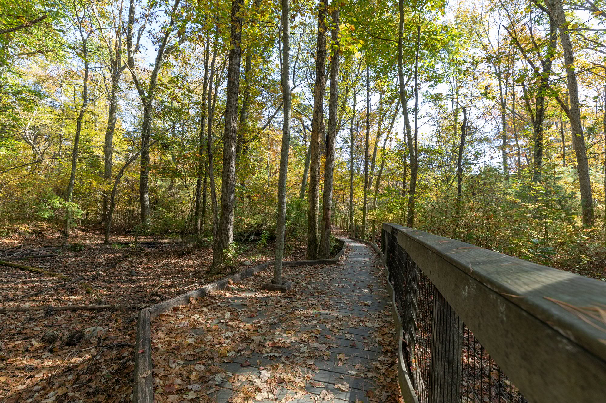
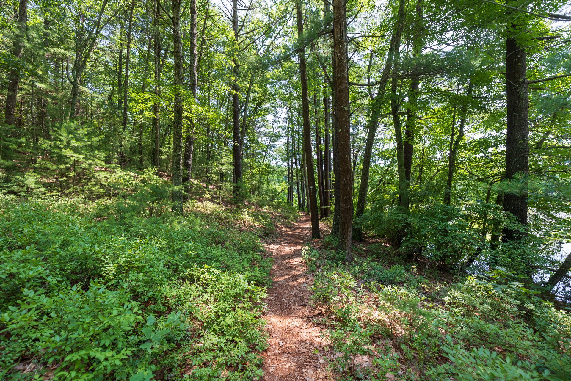
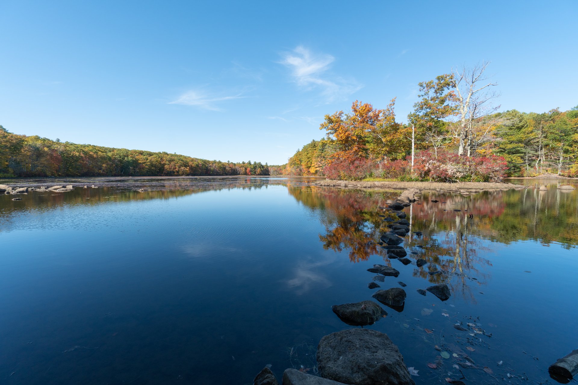
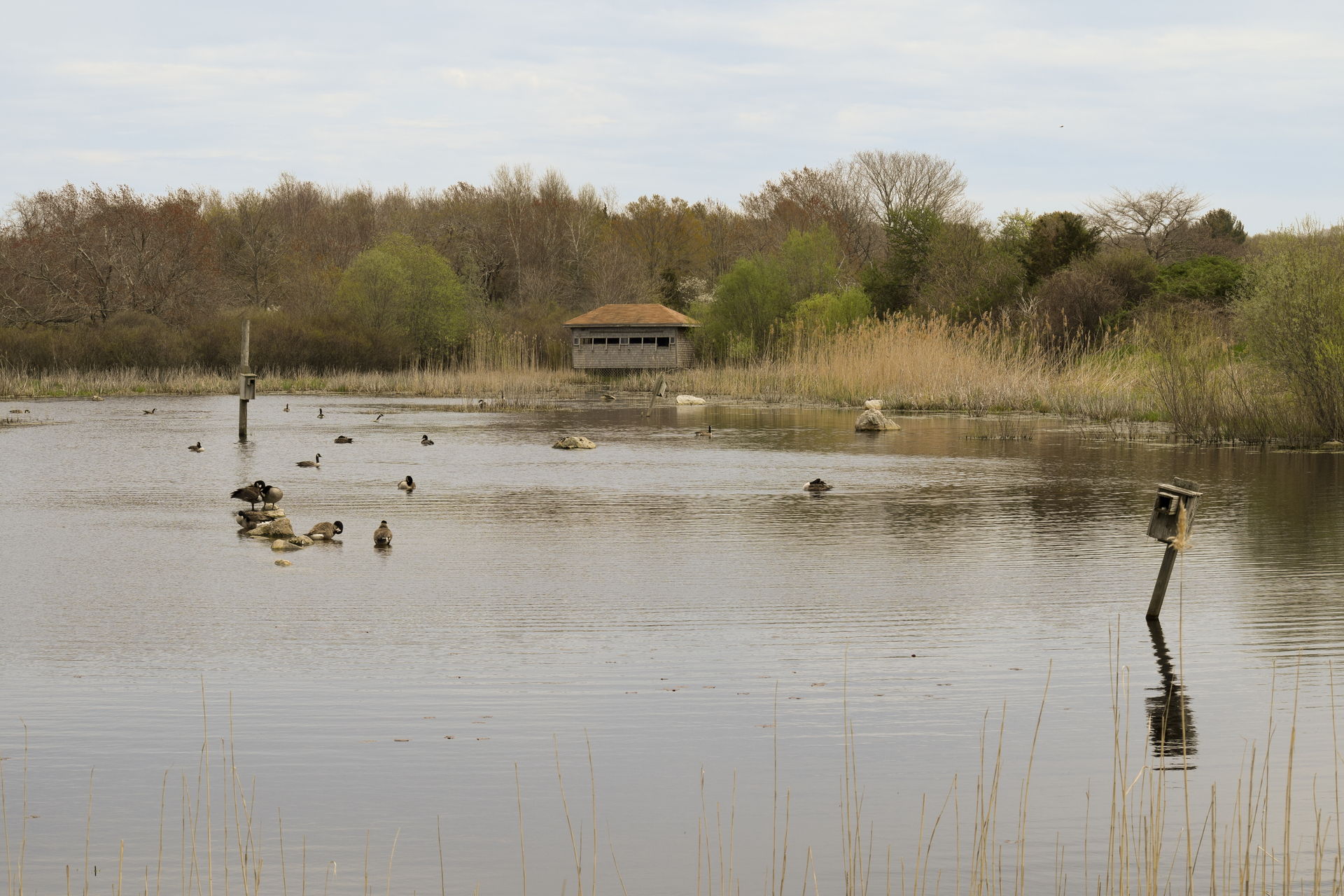
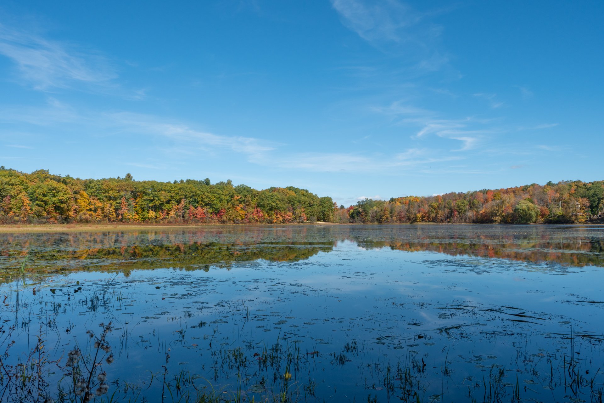
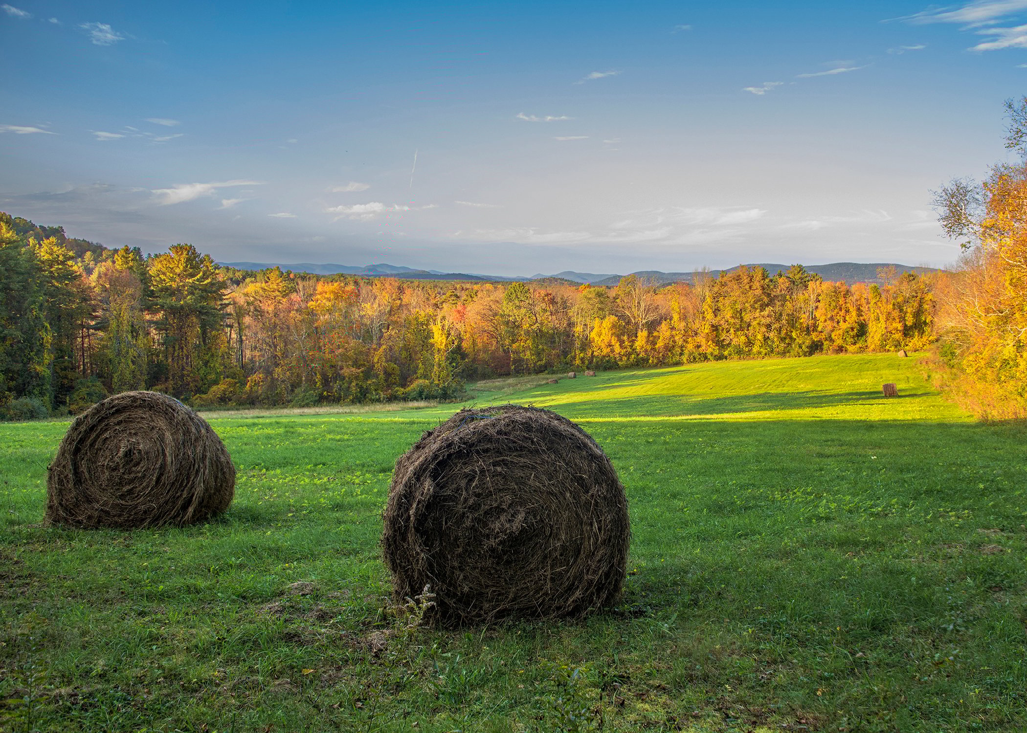
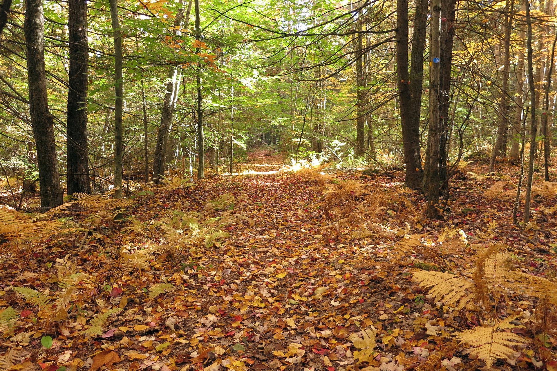
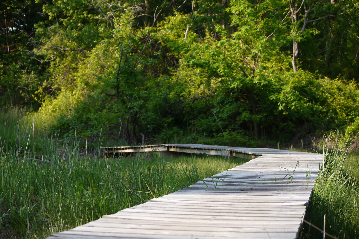
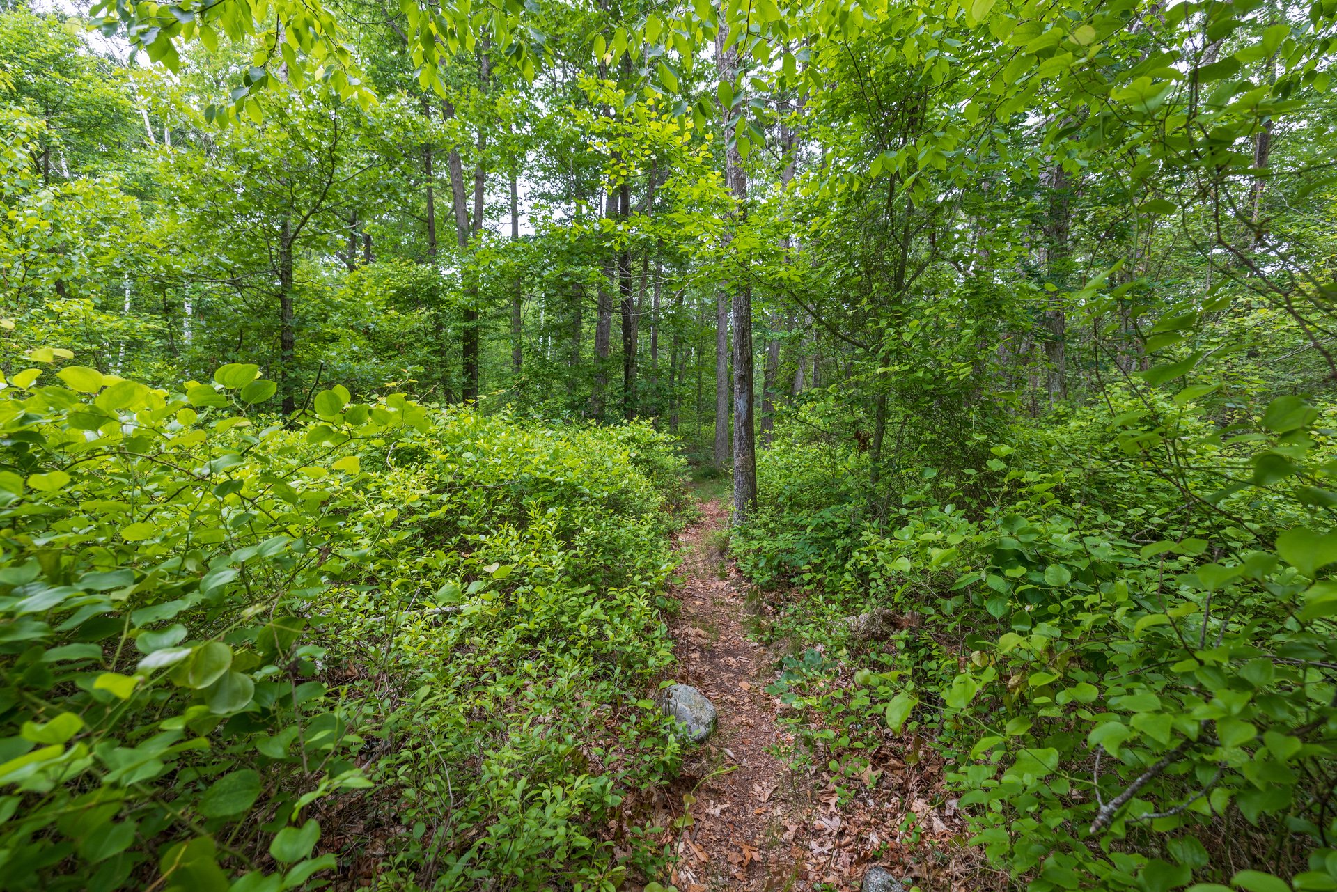
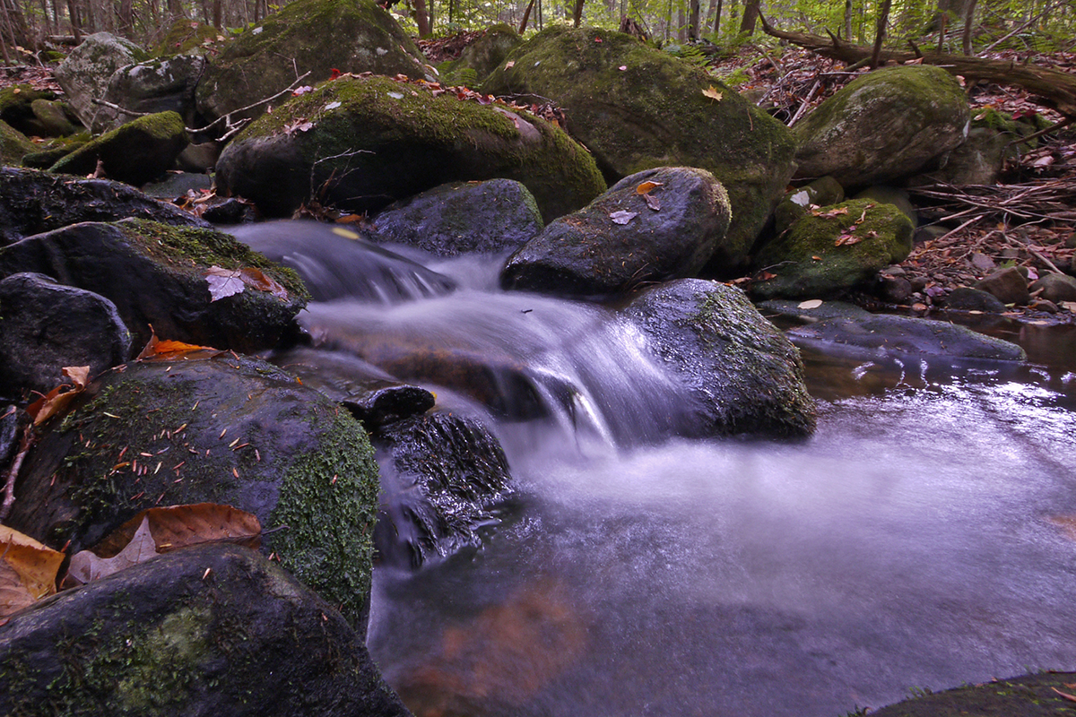
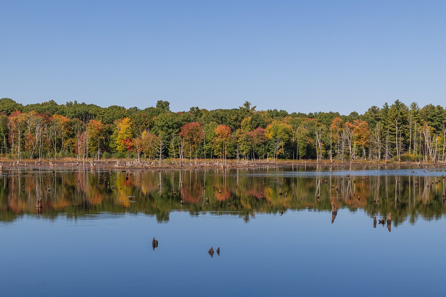
Ipswich River, Topsfield
Wildlife Sanctuaries & Properties
At our wildlife sanctuaries and partner properties, you can walk along miles of scenic trails, participate in a variety of programs and special events, and get involved in local advocacy efforts. Each season brings unique opportunities to explore nature.
Find a Place to Explore
Find a sanctuary
Find by name or location
See all SanctuariesList of Wildlife Sanctuaries & Properties
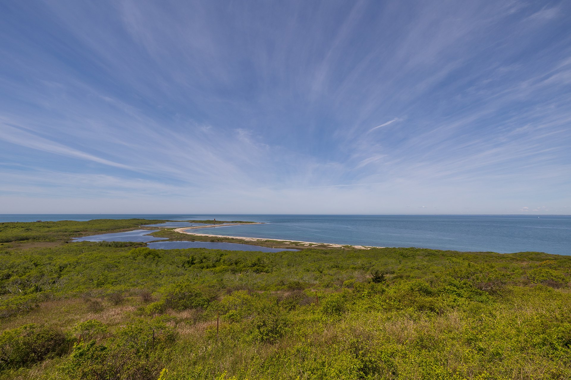
Allens Pond, South Dartmouth
Allens Pond Wildlife Sanctuary
South Dartmouth & Westport
Trails: 7 miles
Arcadia Wildlife Sanctuary
Arcadia Wildlife Sanctuary
Easthampton & Northampton
Trails: 4 miles
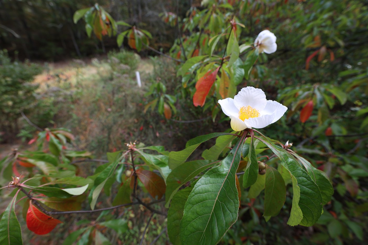
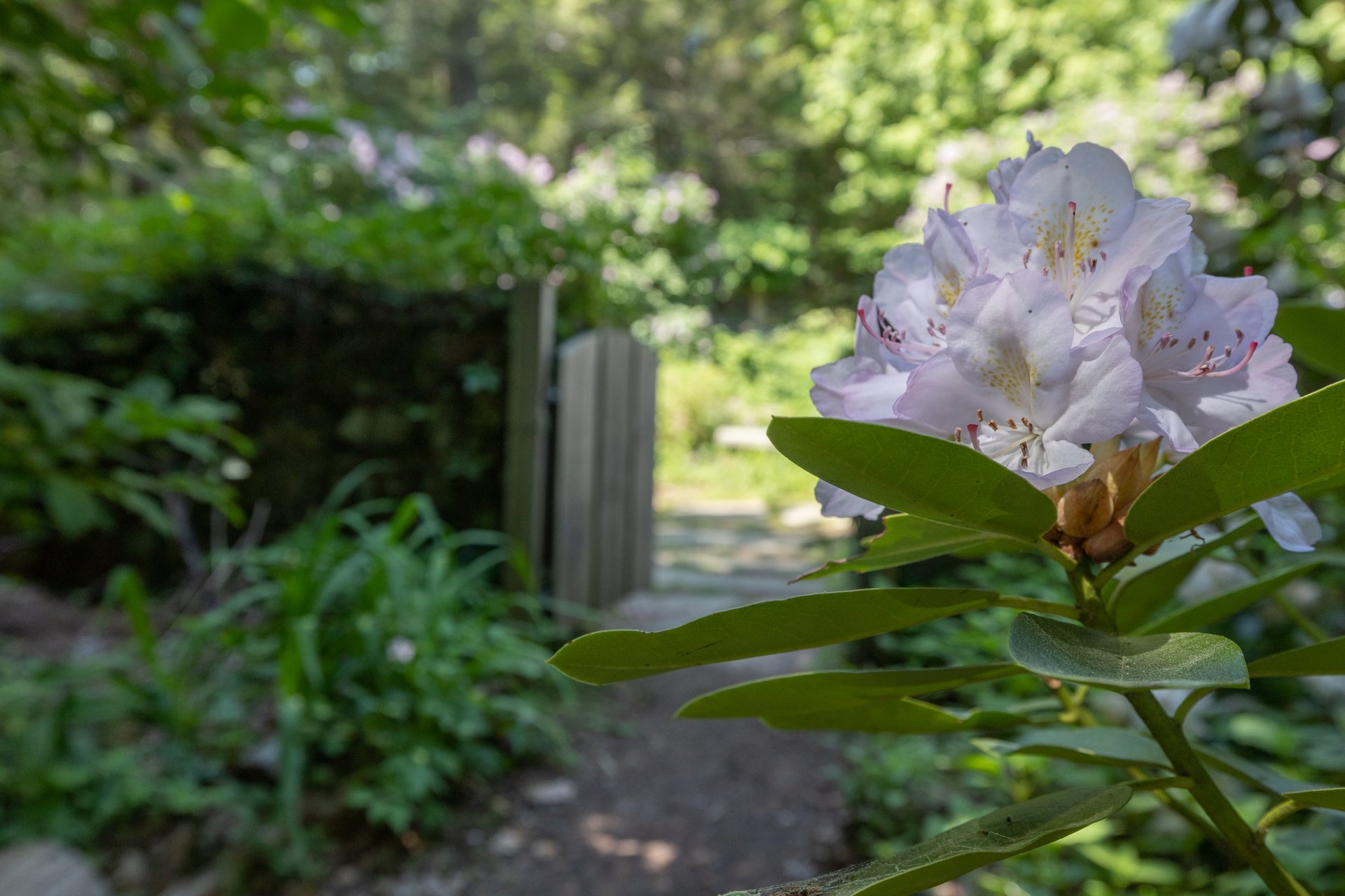
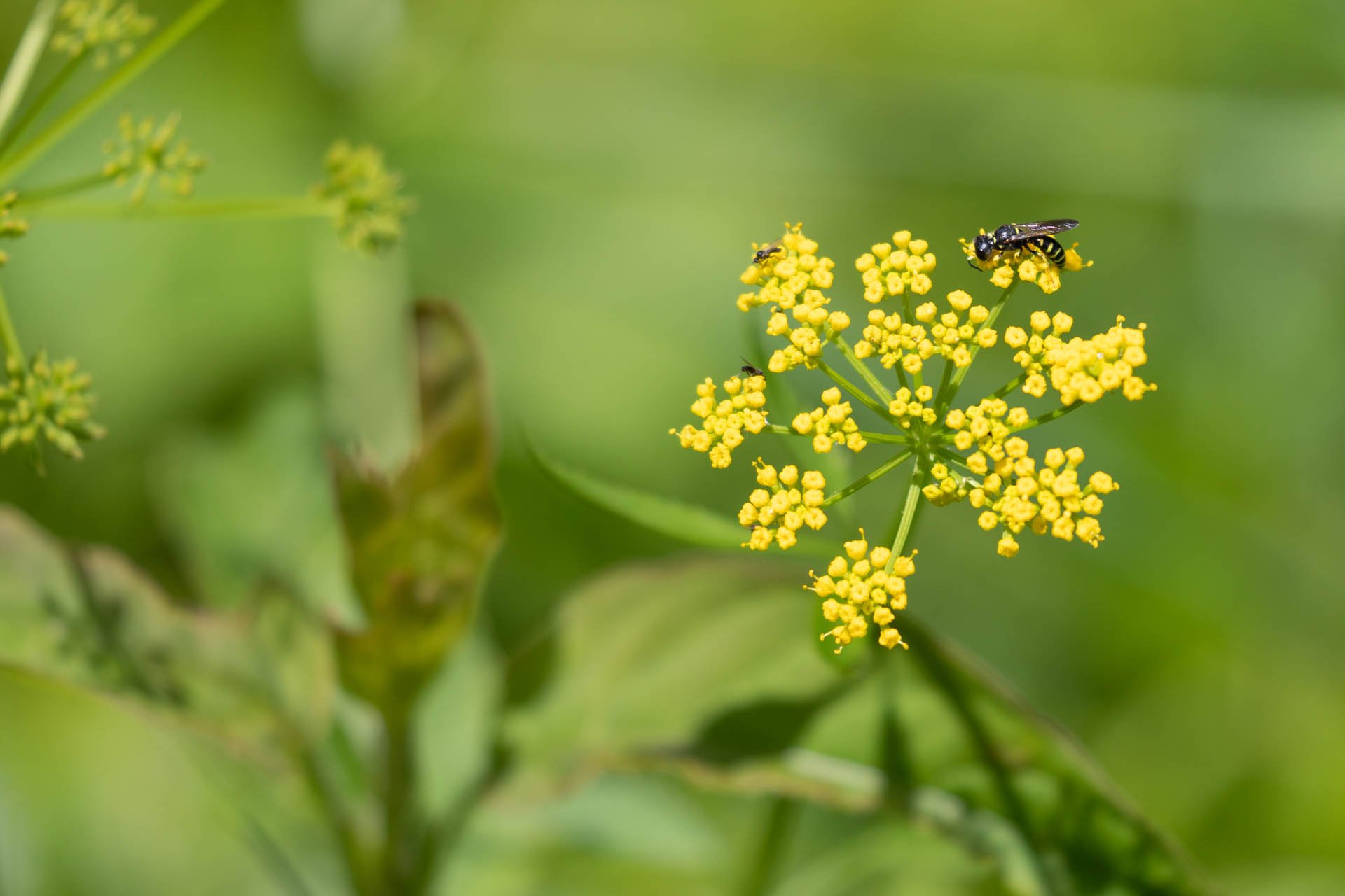
Franklinia Tree Bloom at Ashumet Holly Wildlife Sanctuary, Falmouth
Ashumet Holly Wildlife Sanctuary
East Falmouth
Trails: 1.5 miles
Attleboro Springs Wildlife Sanctuary
Attleboro
Trails: 3 miles
Barnstable Great Marsh Wildlife Sanctuary
Barnstable
Trails: 1.5 miles
Blue Hills Trailside Museum, Milton
Blue Hills Trailside Museum
Milton
Boston Nature Center, Mattapan
Boston Nature Center & Wildlife Sanctuary
Mattapan
Trails: 2 miles
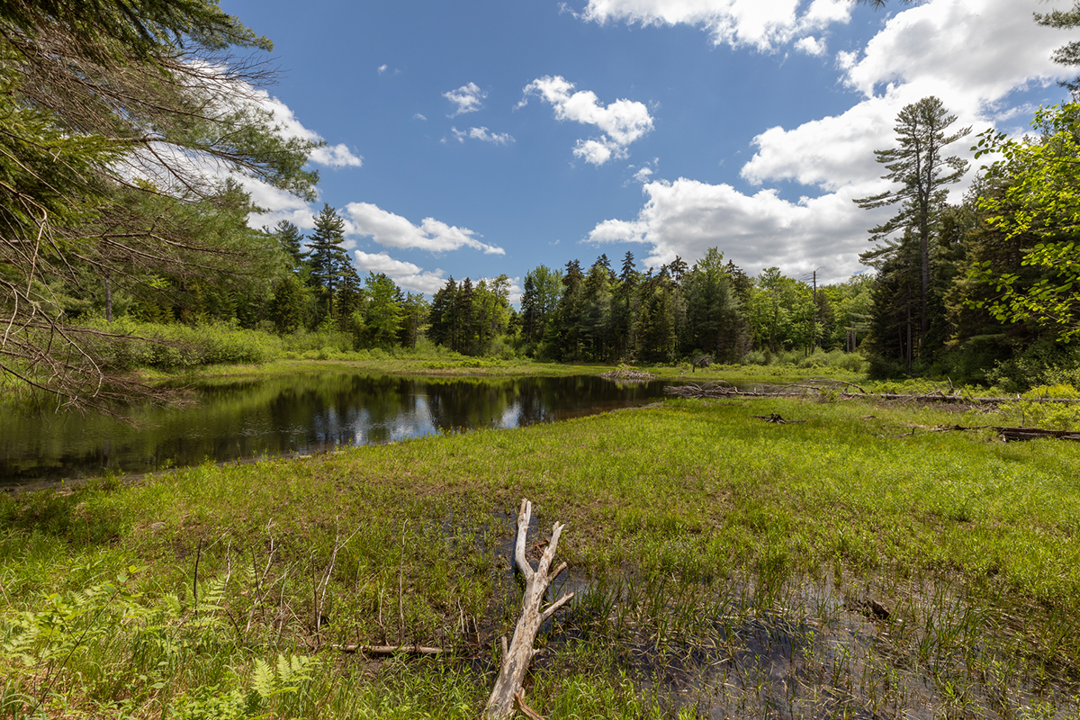
Brewster's Woods Wildlife Sanctuary, Concord
Brewster's Woods Wildlife Sanctuary
Concord
Trails: 2 miles
Broad Hill Wildlife Sanctuary, Holliston
Broad Hill Wildlife Sanctuary
Holliston
Trails: 1.3 miles
Broad Meadow Brook Wildlife Sanctuary, Worcester
Broad Meadow Brook Wildlife Sanctuary
Worcester
Trails: 5 miles
Broadmoor Wildlife Sanctuary, Natick © Sean Seltzer
Broadmoor Wildlife Sanctuary
Natick
Trails: 8 miles
Burncoat Pond, Spencer
Burncoat Pond Wildlife Sanctuary
Spencer
Trails: 2 miles
Canoe Meadows, Pittsfield
Canoe Meadows Wildlife Sanctuary
Pittsfield
Trails: 3 miles
Cedar Pond Wildlife Sanctuary, Wenham
Cedar Pond Wildlife Sanctuary
Wenham
Trails: 3 miles
Conway Hills, Conway
Conway Hills Wildlife Sanctuary
Conway
Trails: 0.75 miles
Cook's Canyon Wildlife Sanctuary
Barre
Trails: 1 mile
Cuttyhunk Bunker Hill Wildlife Sanctuary, Gosnold
Cuttyhunk Bunker Hill Wildlife Sanctuary
Gosnold
Trails: 40 feet
Daniel Webster, Marshfield
Daniel Webster Wildlife Sanctuary
Marshfield
Trails: 3.5 miles
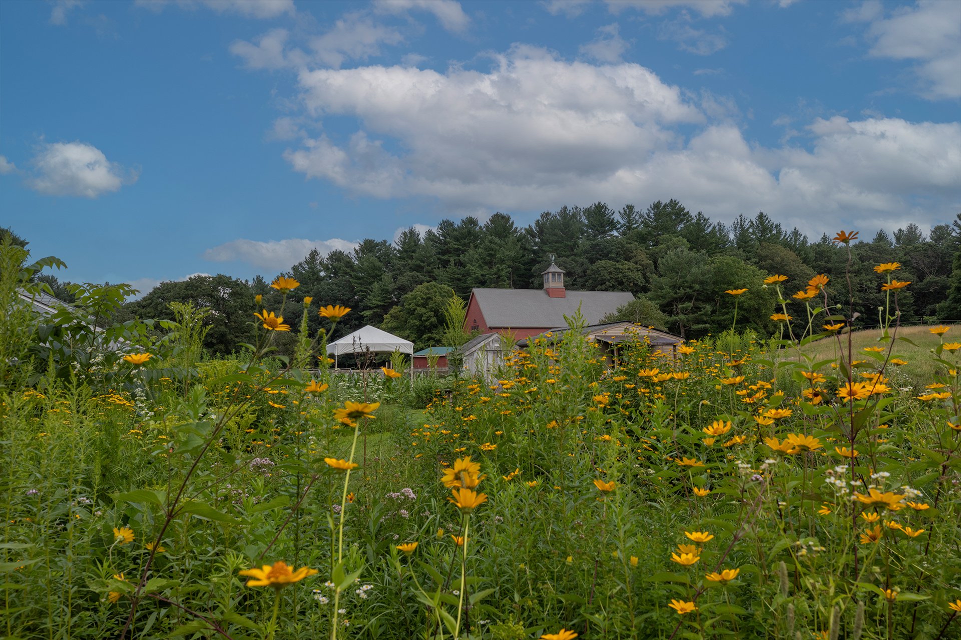
Drumlin Farm, Lincoln
Drumlin Farm Wildlife Sanctuary
Lincoln
Trails: 4 miles
Eagle Lake Wildlife Sanctuary, Holden
Eagle Lake Wildlife Sanctuary
Holden
Trails: 2 miles

Eastern Point Wildlife Sanctuary
Gloucester
Trails: 0.5 miles
Endicott Wildlife Sanctuary, Wenham
Endicott Wildlife Sanctuary
Wenham
Trails: 0.5 miles
Felix Neck Wildlife Sanctuary, Edgartown
Felix Neck Wildlife Sanctuary
Edgartown
Trails: 4 miles
Flat Rock Wildlife Sanctuary
Flat Rock Wildlife Sanctuary
Fitchburg
Trails: 6 miles
Graves Farm, Williamsburg
Graves Farm Wildlife Sanctuary
Williamsburg
Trails: 1.5 miles
Great Neck, Wareham
Great Neck Wildlife Sanctuary
Wareham
Trails: 4 miles
Habitat Education Center, Belmont
Habitat Education Center & Wildlife Sanctuary
Belmont
Trails: 4 miles
High Ledges Wildlife Sanctuary
Shelburne
Trails: 5 miles
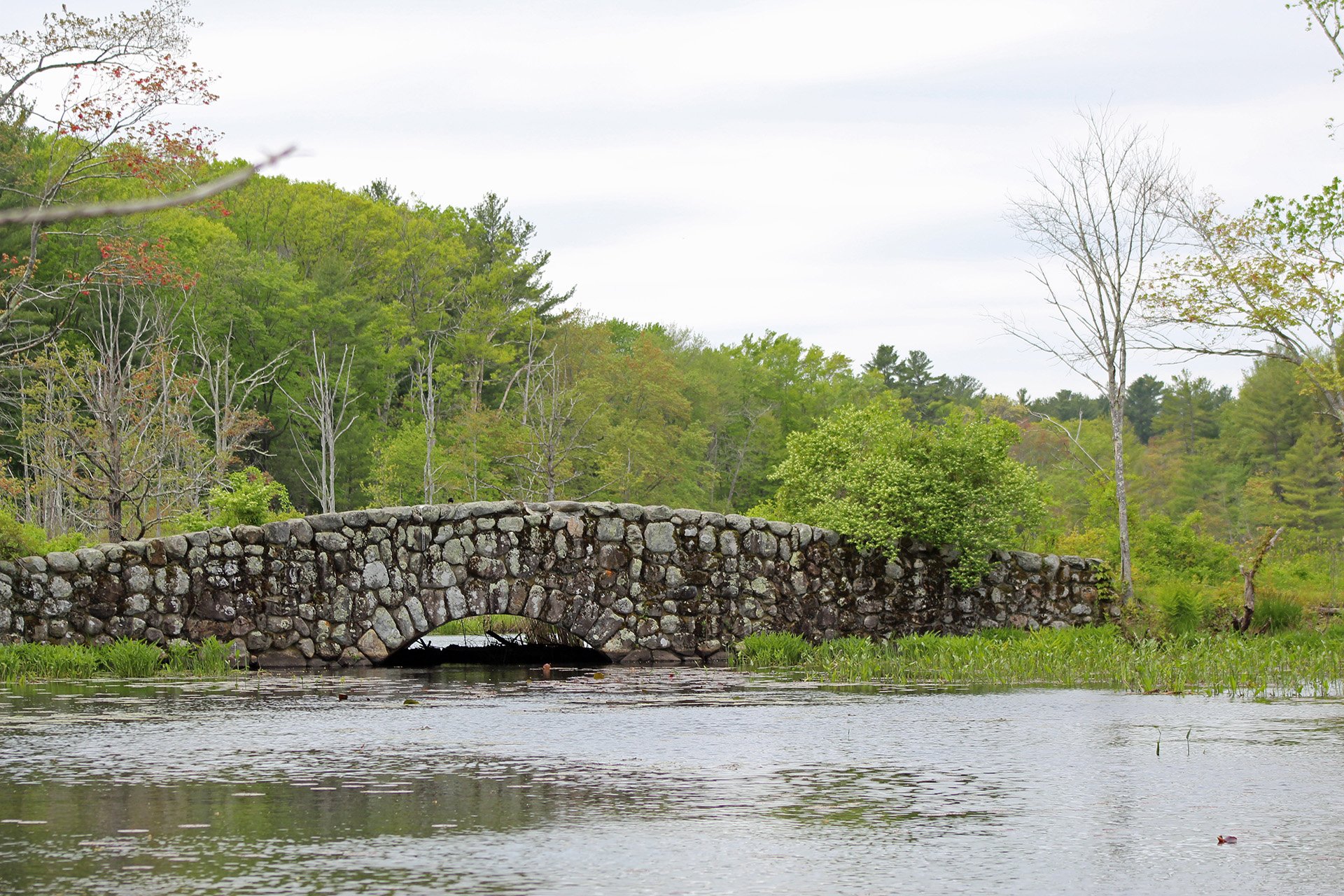
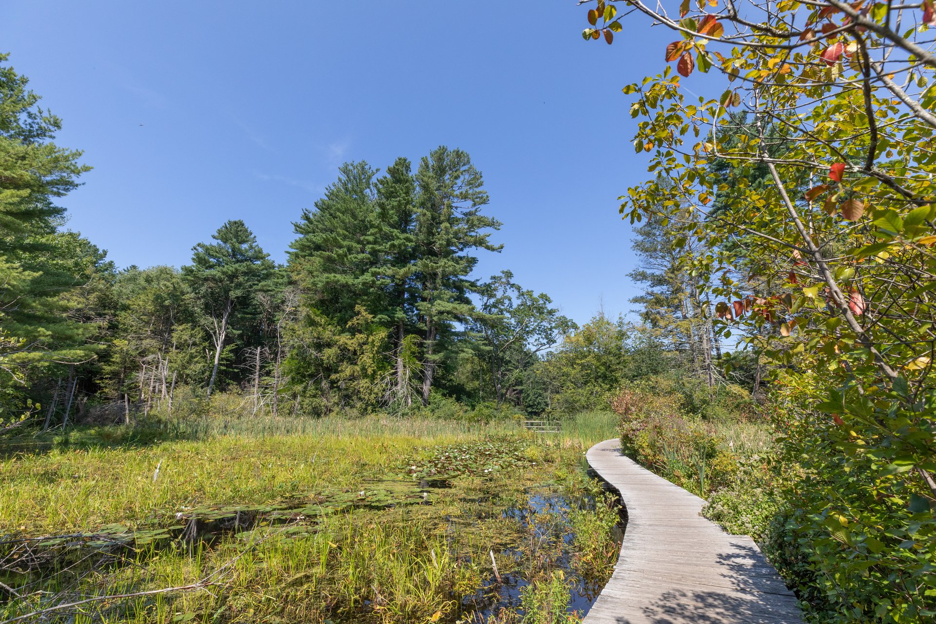
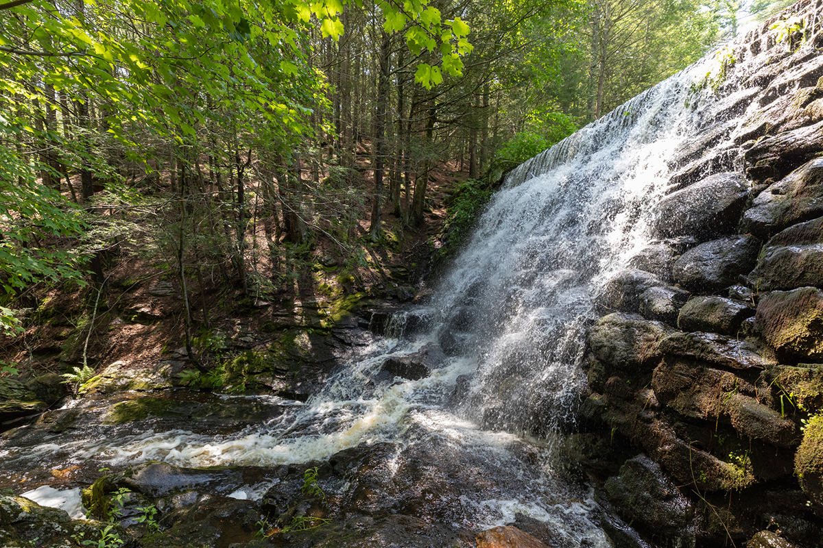
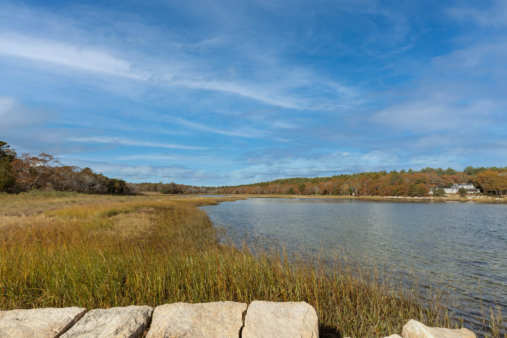
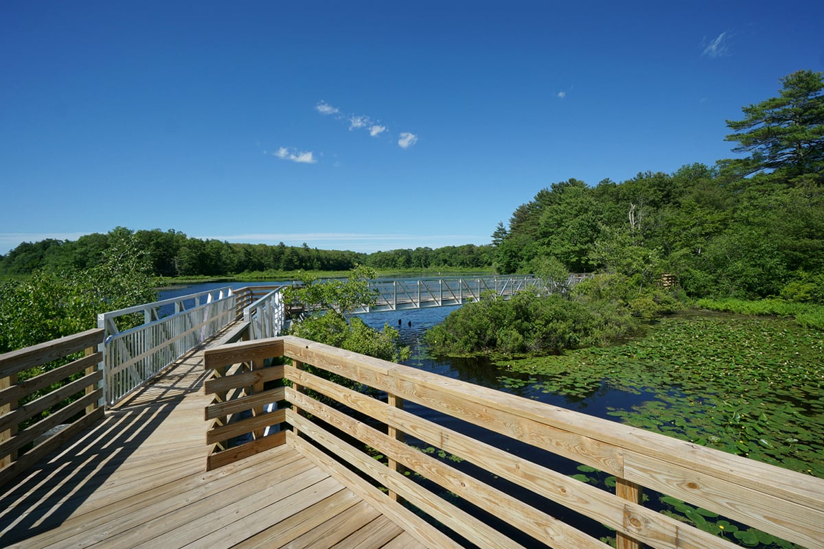
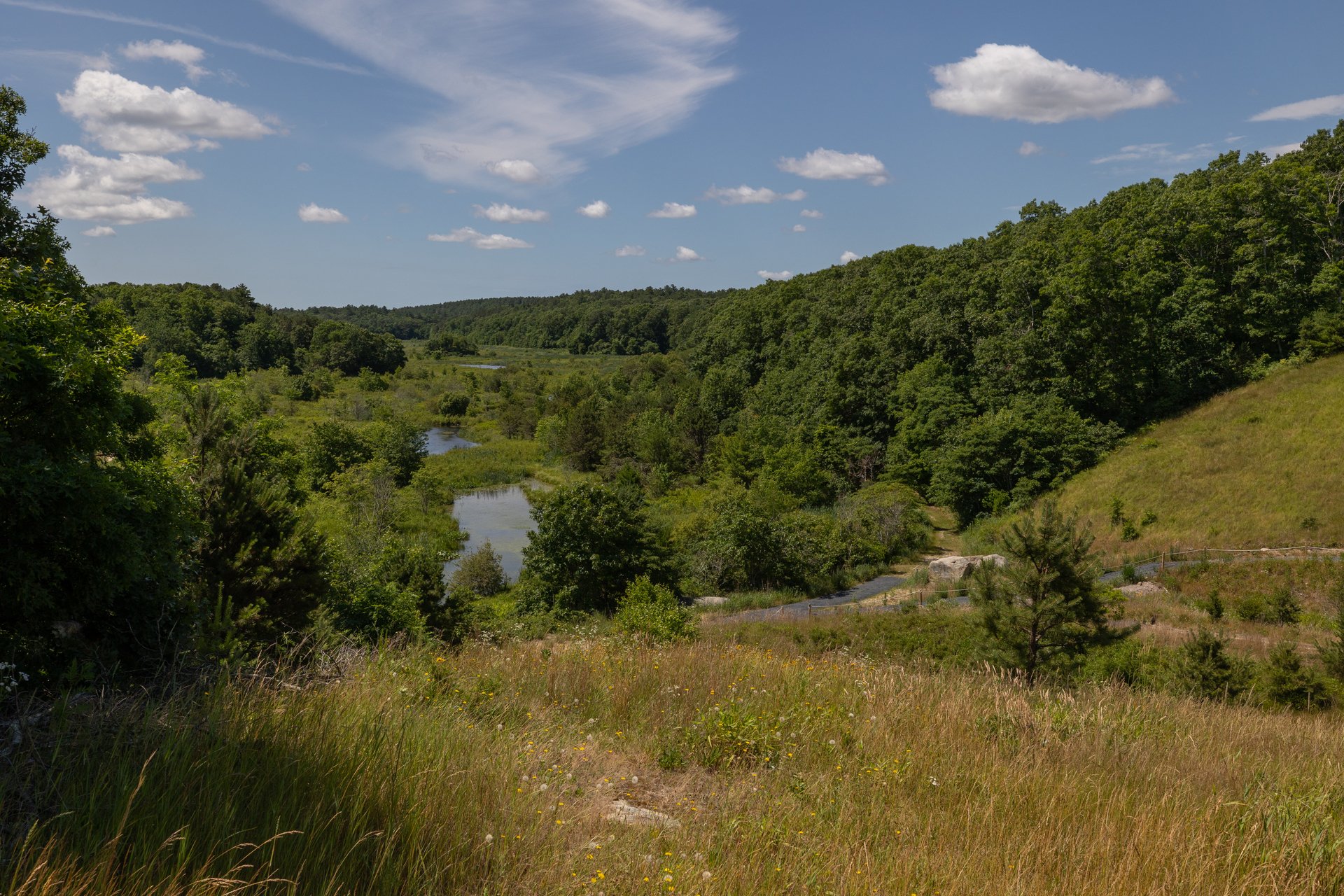
Ipswich River Wildlife Sanctuary, Topsfield
Ipswich River Wildlife Sanctuary
Topsfield
Trails: 12 miles
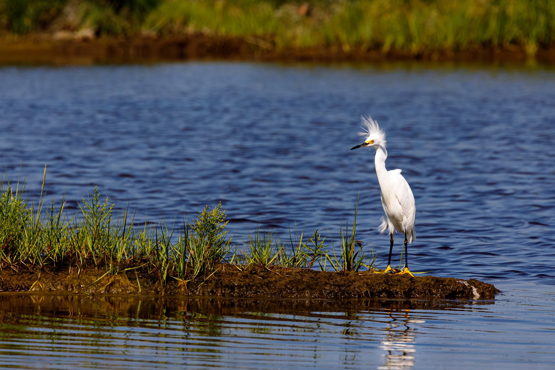
Snowy Egret @ Clare Carvel
Joppa Flats Education Center
Newburyport
Lake Wampanoag, Gardner
Lake Wampanoag Wildlife Sanctuary
Gardner
Trails: 1 mile
Laughing Brook, Hampden
Laughing Brook Wildlife Sanctuary
Hampden
Trails: 4 miles
© David Ross
Lime Kiln Farm Wildlife Sanctuary
Sheffield
Trails: 2 miles
Lincoln Woods Wildlife Sanctuary, Leominster
Lincoln Woods Wildlife Sanctuary
Leominster
Trails: 1 mile
Long Pasture Wildlife Sanctuary, Barnstable © Hong Ren Wang
Long Pasture Wildlife Sanctuary
Barnstable
Trails: 2.5 miles
Lost Farm, Nantucket
Lost Farm Wildlife Sanctuary
Nantucket
Trails: 5 miles
Lynes Woods Wildlife Sanctuary, Westhampton
Lynes Woods Wildlife Sanctuary
Westhampton
Trails: 1 mile
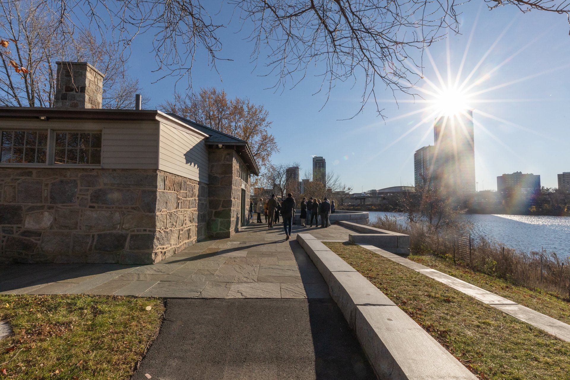
Magazine Beach Nature Center, Cambridge
Magazine Beach Park Nature Center
Cambridge
Marblehead Neck, Marblehead
Marblehead Neck Wildlife Sanctuary
Marblehead
Trails: 0.85 miles
Moose Hill Wildlife Sanctuary, Sharon
Moose Hill Wildlife Sanctuary
Sharon
Trails: 20 miles

Museum of American Bird Art Education Center & Wildlife Sanctuary
Canton
Trails: 2 miles
Nahant Thicket, Nahant
Nahant Thicket Wildlife Sanctuary
Nahant
Trails: 0.25 miles
Nashoba Brook, Westford
Nashoba Brook Wildlife Sanctuary
Westford
Trails: 3.6 miles
North Hill Marsh Wildlife Sanctuary
Duxbury
Trails: 5 miles
North River Wildlife Sanctuary, Marshfield
North River Wildlife Sanctuary
Marshfield
Trails: 2 miles
Norwood Mills Wildlife Sanctuary, Rockport
Norwood Mills Wildlife Sanctuary
Rockport
Trails: 917 feet (within 2.2 miles of town trail)
Oak Knoll Wildlife Sanctuary, Attleboro
Oak Knoll Wildlife Sanctuary
Attleboro
Trails: 1.5 miles
Old Baldy, Otis
Old Baldy Wildlife Sanctuary
Otis
Trails: 0.2 miles
Osgood Hill Partner Property, Andover
Osgood Hill Partner Property
North Andover
Trails: 3.5 miles
Pawtucket Farm Wildlife Sanctuary, Lowell
Pawtucket Farm Wildlife Sanctuary
Lowell
Trails: 0.78 miles
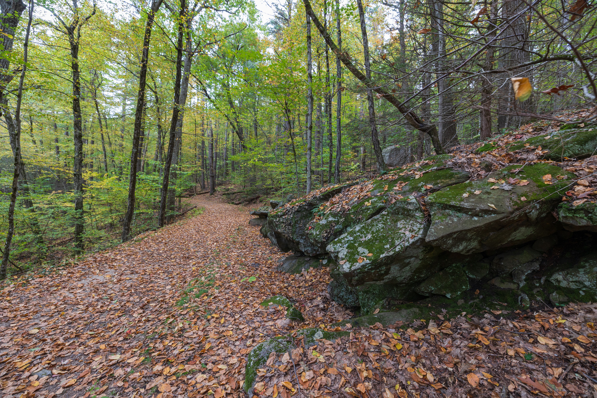
Lincoln Woods, Leominster
Pierpont Meadow Wildlife Sanctuary
Dudley
Trails: 0.75 miles
Pleasant Valley, Lenox © Nicole Marcotte
Pleasant Valley Wildlife Sanctuary
Lenox & Richmond
Trails: 7 miles
Poor Farm Hill Wildlife Sanctuary
New Salem
Trails: 0.94 miles
Richardson Brook Wildlife Sanctuary
Tolland
Trails: 2.5 miles

Road's End Wildlife Sanctuary, Worthington
Road's End Wildlife Sanctuary
Worthington
Trails: 1 mile
Rocky Hill, Groton
Rocky Hill Wildlife Sanctuary
Groton
Trails: 3 miles
Rough Meadows Wildlife Sanctuary
Rowley
Trails: 1.7 miles
© Linda MacMillan
Rutland Brook Wildlife Sanctuary
Petersham
Trails: 4 miles
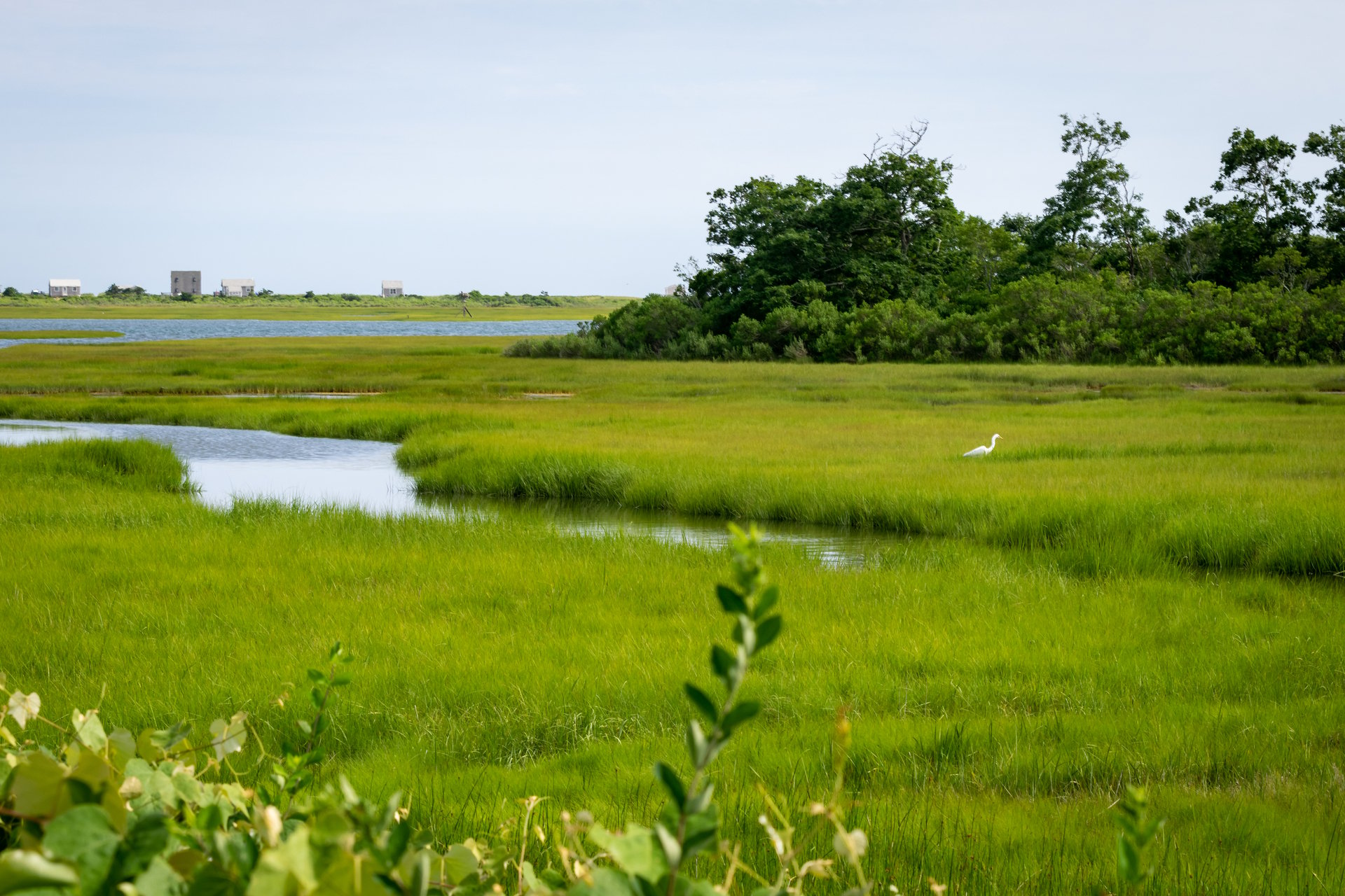
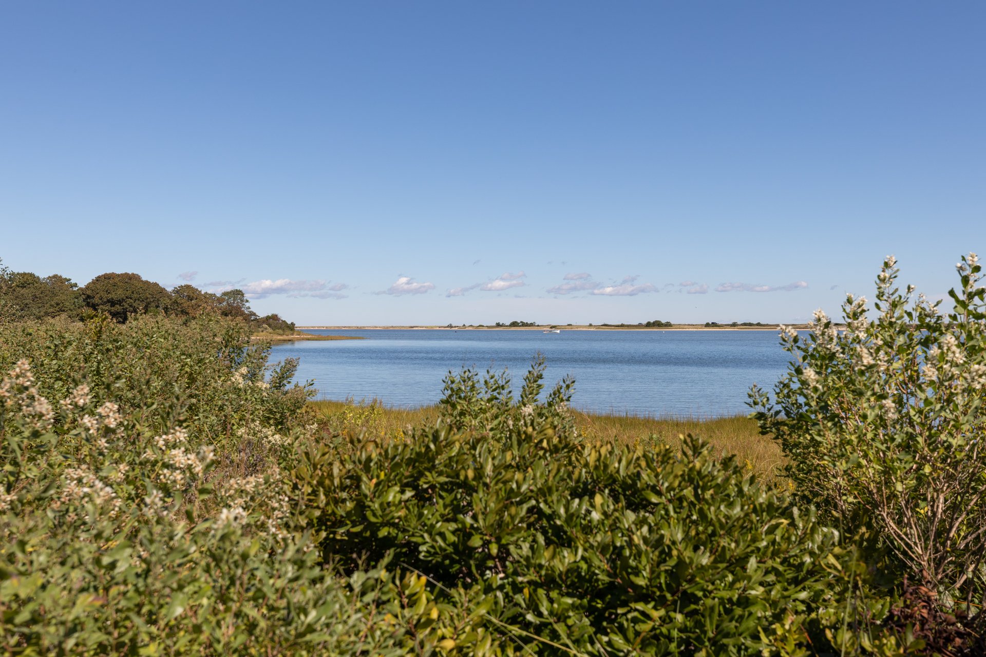
Sampsons Island Wildlife Sanctuary, Barnstable
Sampsons Island Wildlife Sanctuary
Barnstable
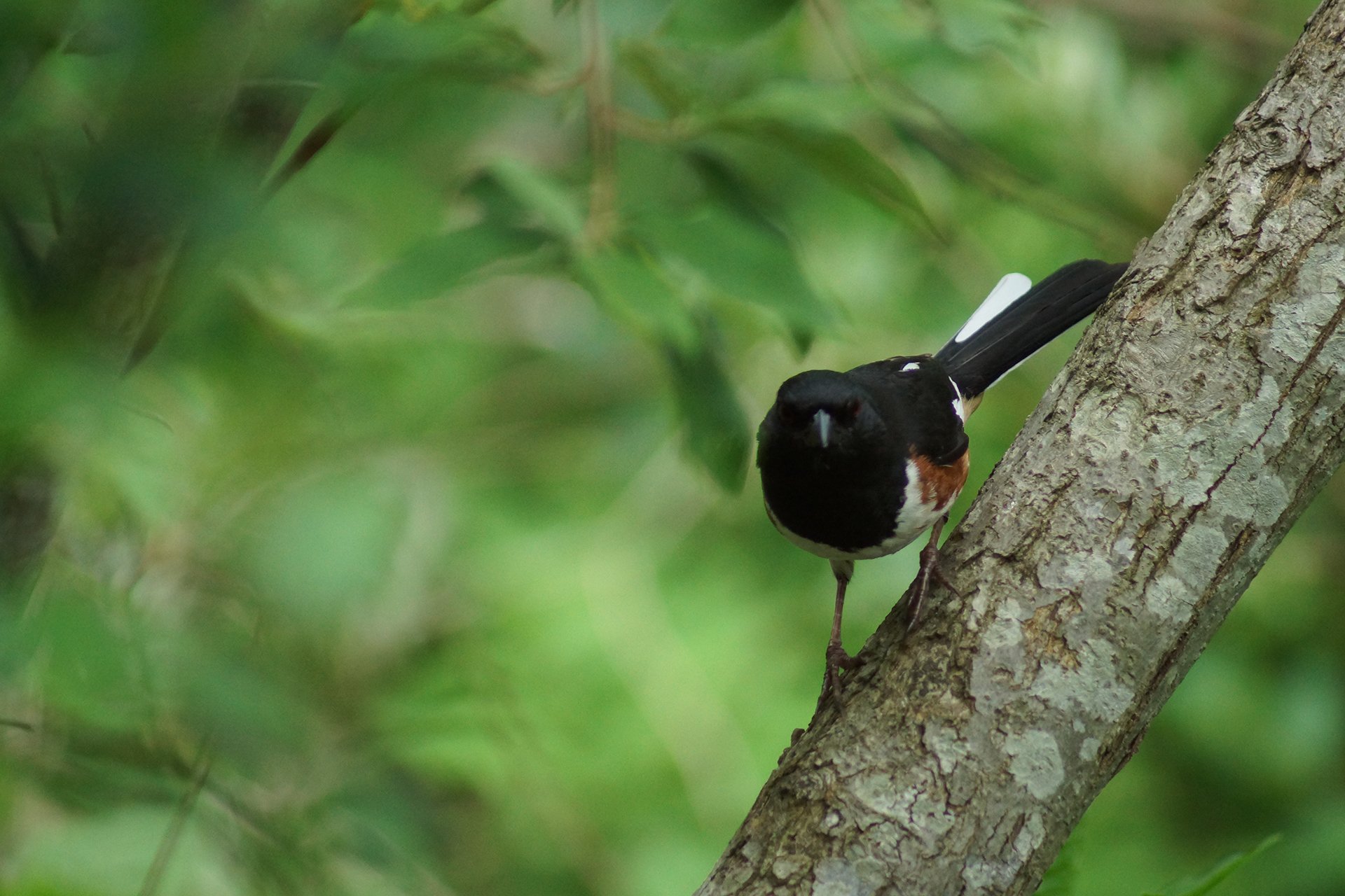
Eastern Towhee © Scott Kelly
Sesachacha Heathlands Wildlife Sanctuary
Nantucket
Trails: 5 miles
Skunknett River Wildlife Sanctuary
Barnstable
Trails: 1 mile
Stony Brook Wildlife Sanctuary, Norfolk
Stony Brook Wildlife Sanctuary
Norfolk
Trails: 2 miles
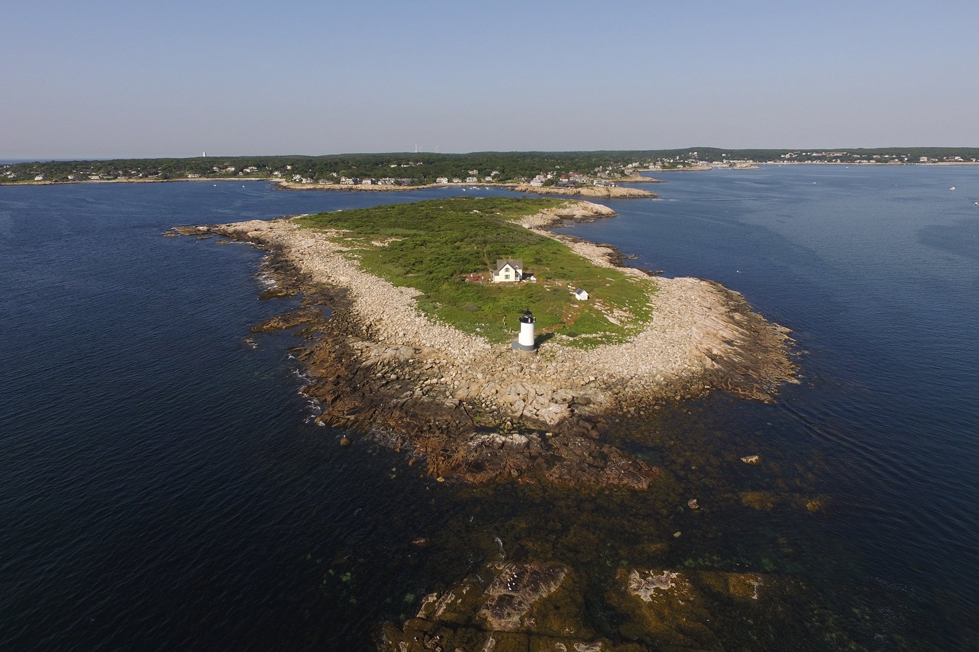
Straitsmouth Island Wildlife Sanctuary, Rockport © Thacher Island Association
Straitsmouth Island Wildlife Sanctuary
Rockport
Trails: 0.33 miles
Tidmarsh, Plymouth
Tidmarsh Wildlife Sanctuary
Plymouth
Trails: 4.5 miles
Tracy Brook Wildlife Sanctuary
Richmond
Wachusett Meadow Wildlife Sanctuary
Wachusett Meadow Wildlife Sanctuary
Princeton
Trails: 12 miles
Waseeka Wildlife Sanctuary, Hopkinton
Waseeka Wildlife Sanctuary
Hopkinton
Trails: 1 mile
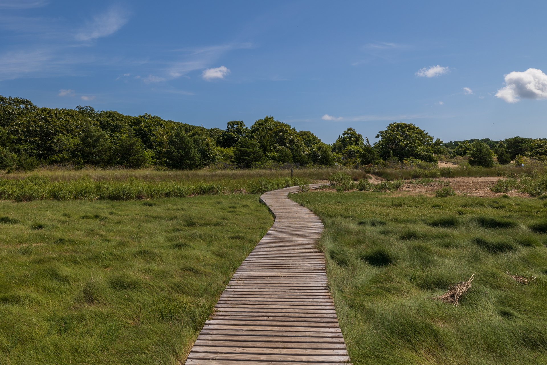
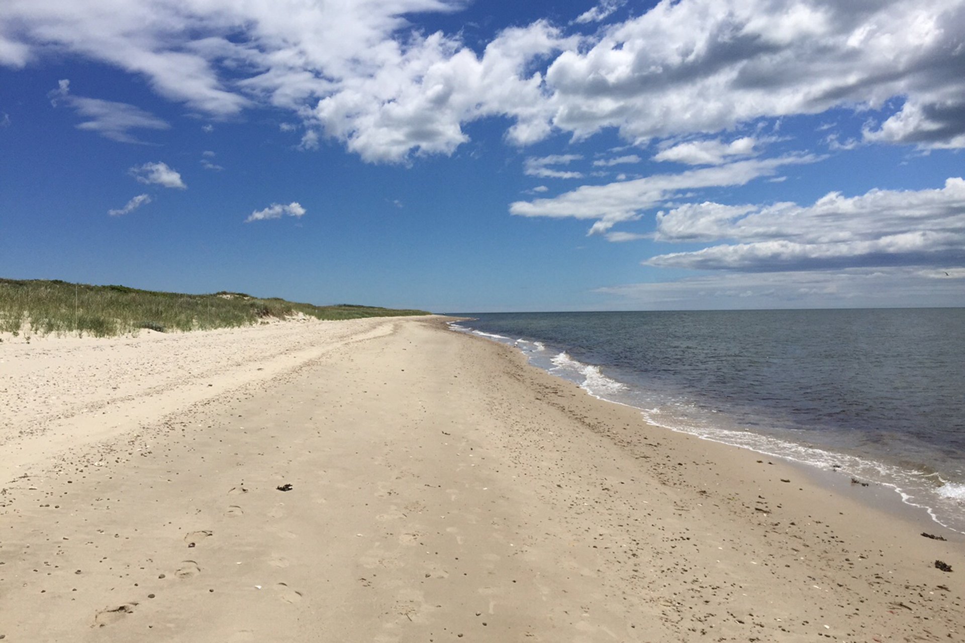
Wellfleet Bay Wildlife Sanctuary, Wellfleet
Wellfleet Bay Wildlife Sanctuary
South Wellfleet
Trails: 5 miles
West Mountain Wildlife Sanctuary
Plainfield
Trails: 1.2 miles