

Plan Your Visit
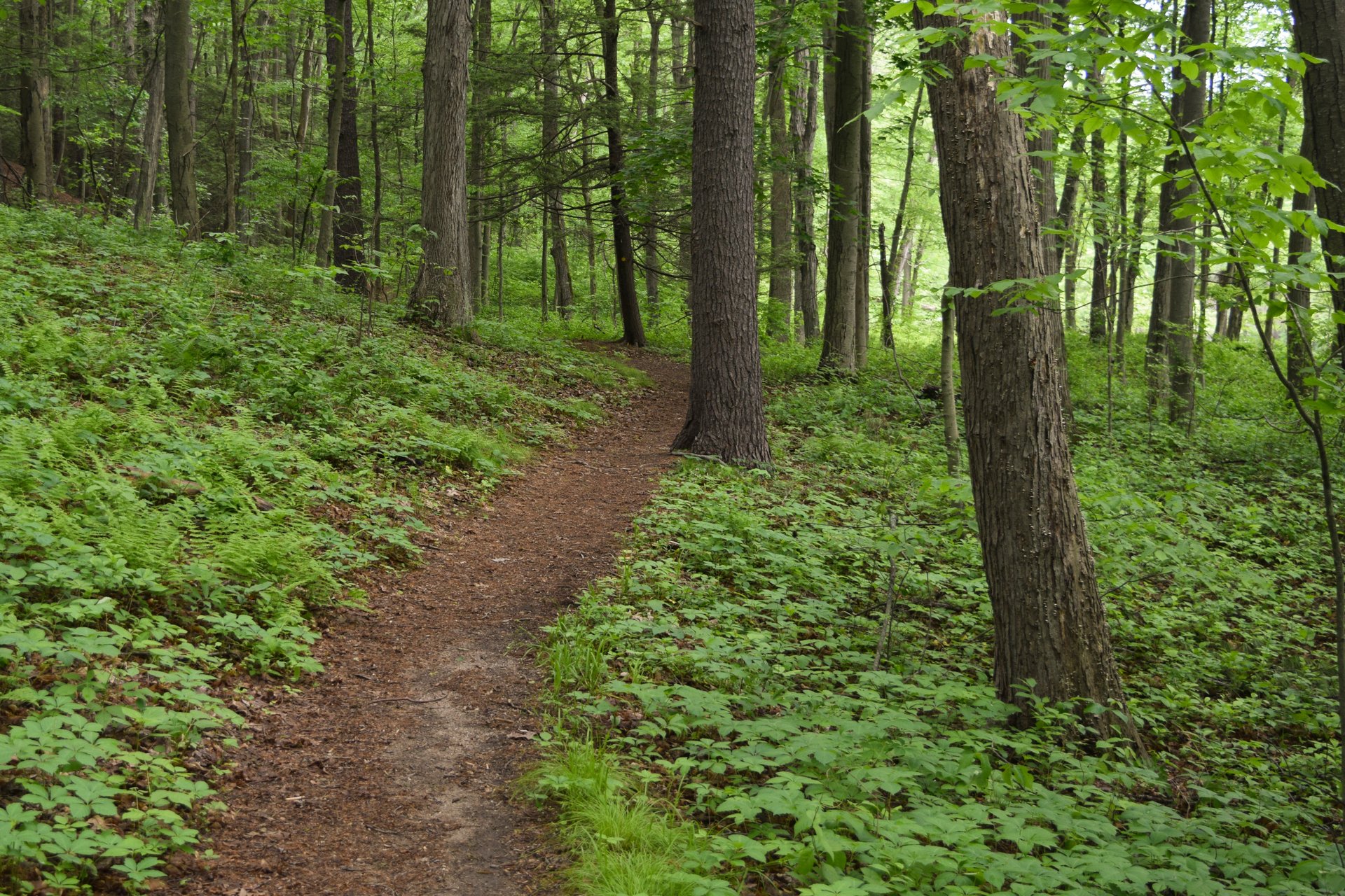
Spanning Easthampton and Northampton, Arcadia's diverse terrain of forest, meadows, grasslands, marsh, and wetlands attracts an extraordinary variety of birds and other wildlife. Explore 4 miles of trails, make art outdoors, take in expansive views from the observation tower, explore the Mill River by canoe, and embark on your next nature adventure in the Connecticut River Valley.
Hours
Nature Center
- Monday-Friday
- 9:00 am–3:00 pm
- Saturday
- 9:00 am–3:00 pm
- Sunday
- 9:00 am-3:00 pm
Trails
- Daily
- dawn to dusk
- 4 miles
- 850 feet
Admissions
- Adults $4
- Seniors (65+) $3
- Children (2-12) $3
Contact
127 Combs Road
Easthampton, MA 01027
Choose Your Path


Property Regulations
- Foot travel only; please stay on trails (day passes are available for powered mobility devices)
- Dog walking and horseback riding are prohibited; please leave all animals and pets at home (service animals welcome)
- Camping, collecting, smoking, hunting, fishing, releasing of animals, and feeding wildlife is prohibited.
- Commercial photography needs prior approval; please see all photography guidelines.
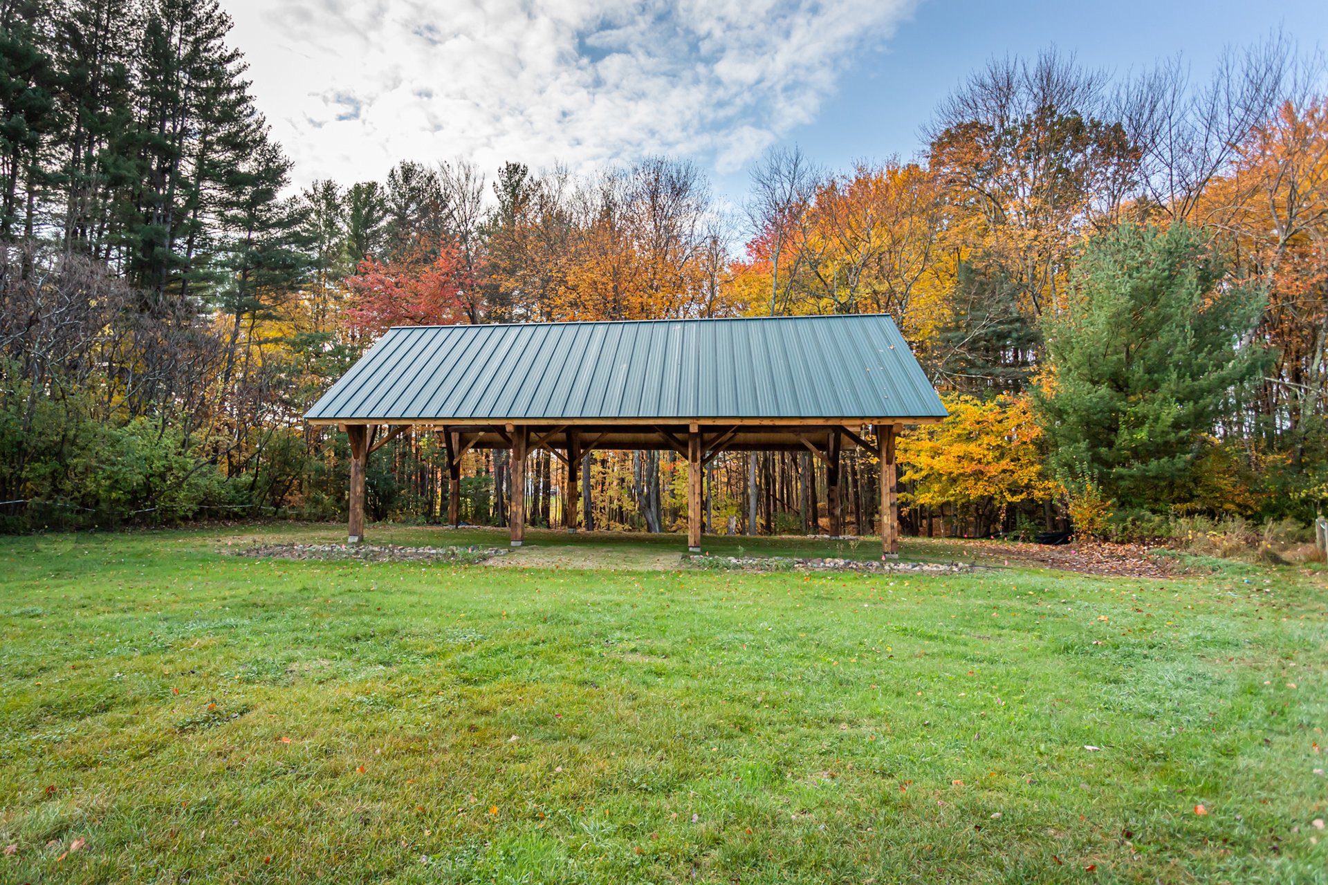
Facilities


Featured Experiences
-
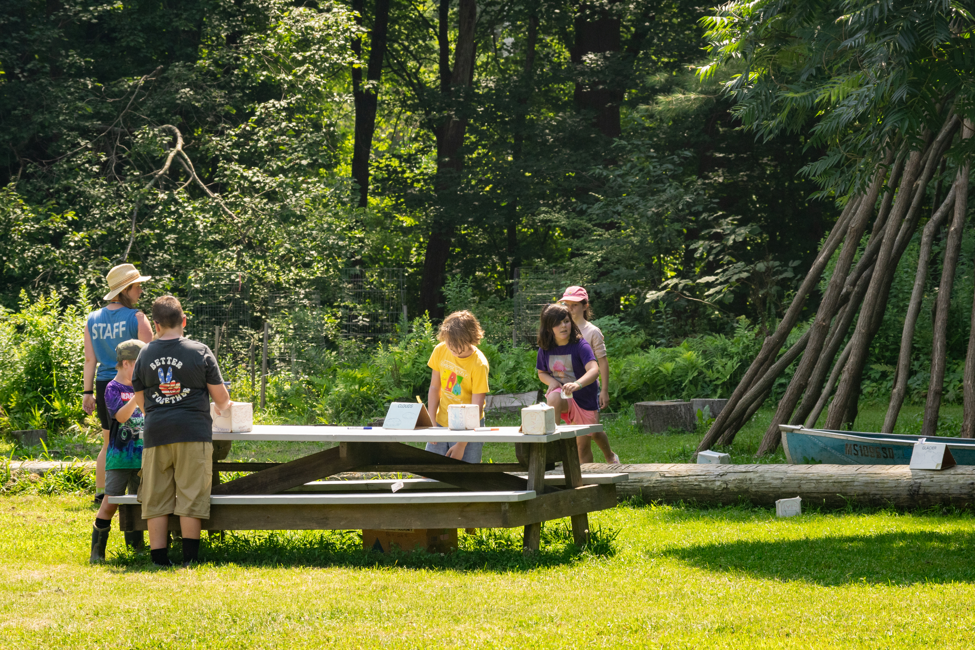
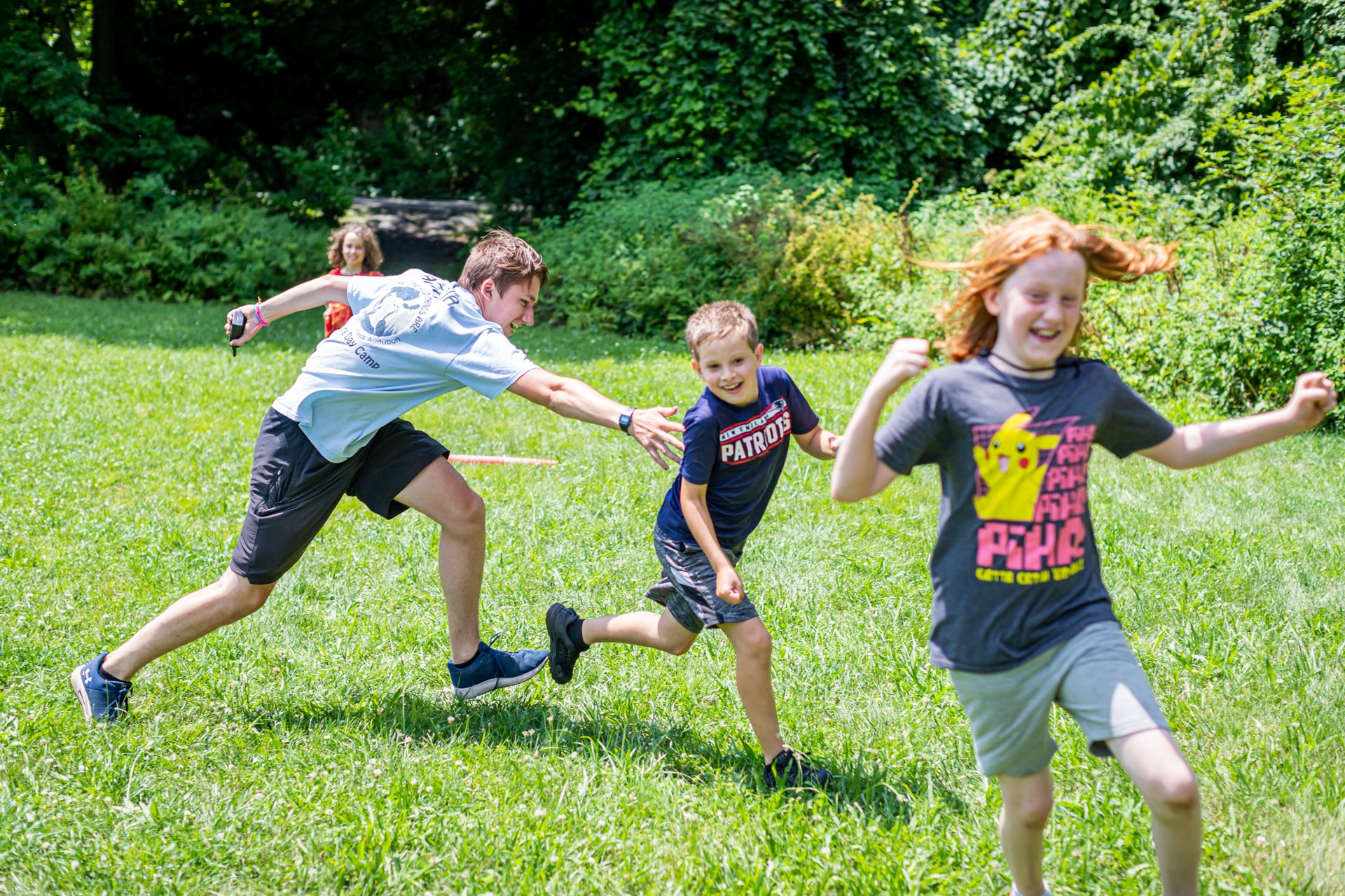 Arcadia Nature Camp, Easthampton, © Phil Doyle
Top 10 Experiences at Arcadia Nature Camp
These 10 camper-favorite experiences make Arcadia Nature Camp an unforgettable time for all that join.
-
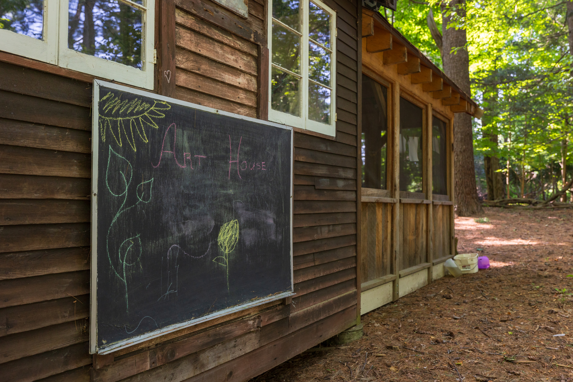
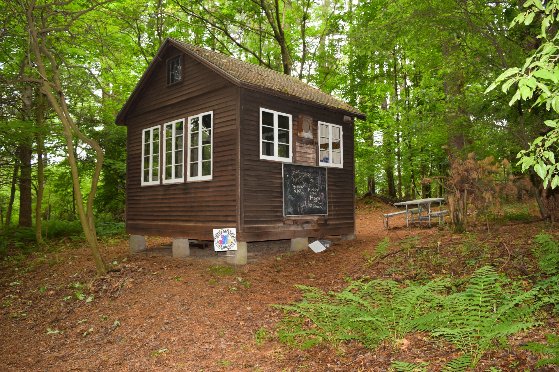
Art & Photography
Arcadia offers many opportunities for visitors to express themselves through art, including their season art house with drop-in, trailside creative projects.
-
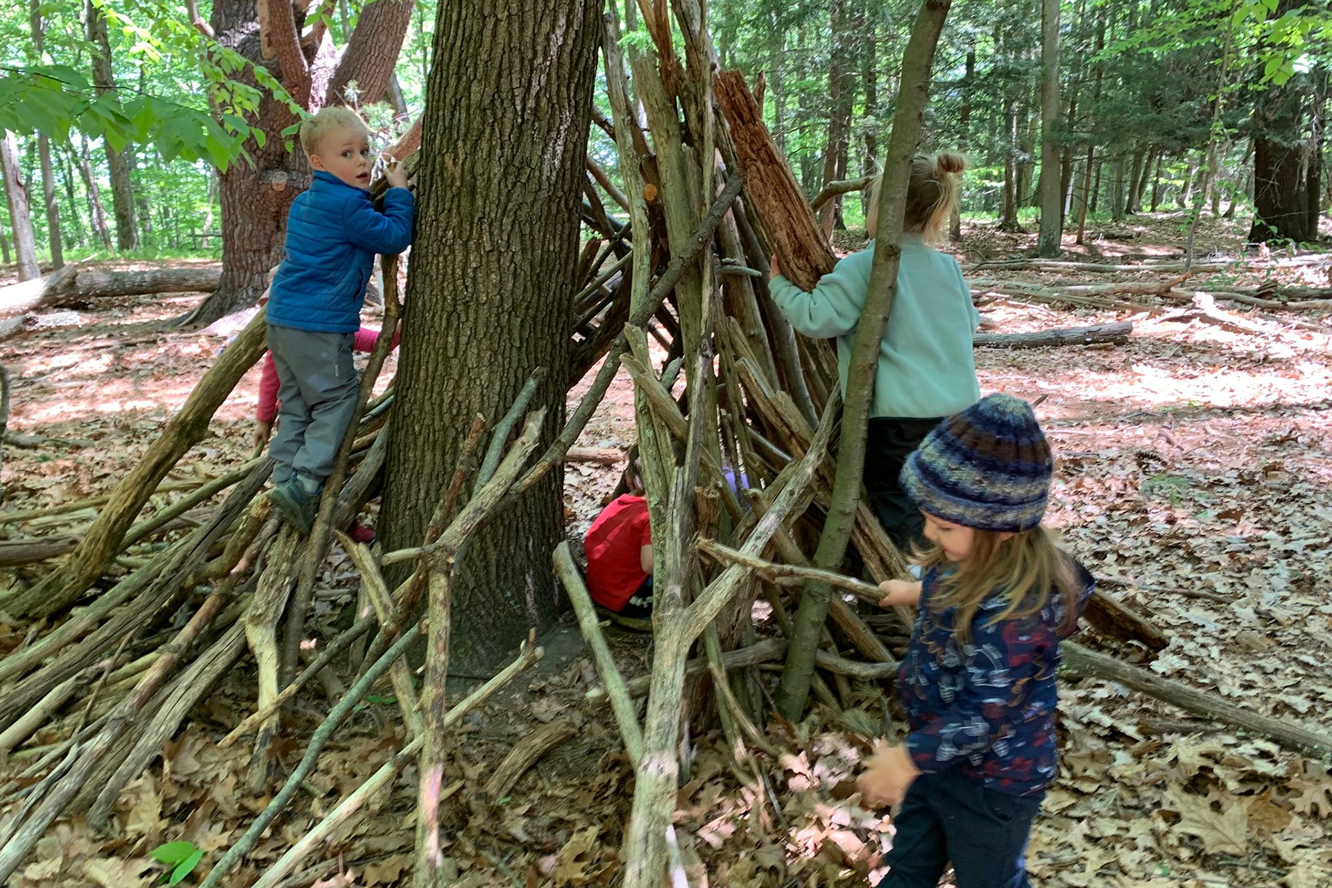
Family Fun
Children and families love exploring Arcadia's nature play area, joining guided programs, and making friends at preschool and camp.
-
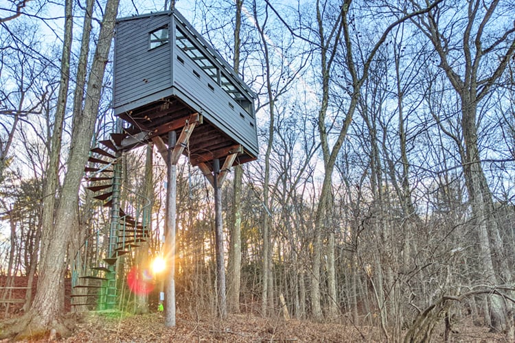
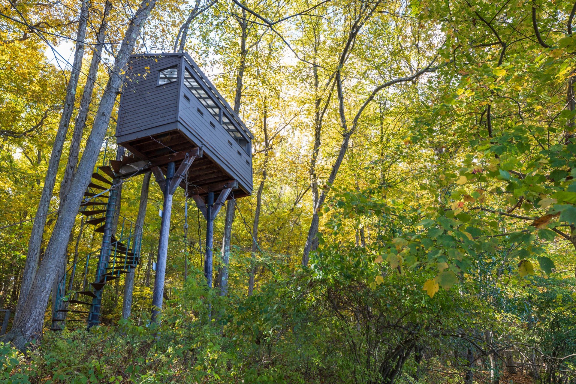 Observation Tower at Arcadia
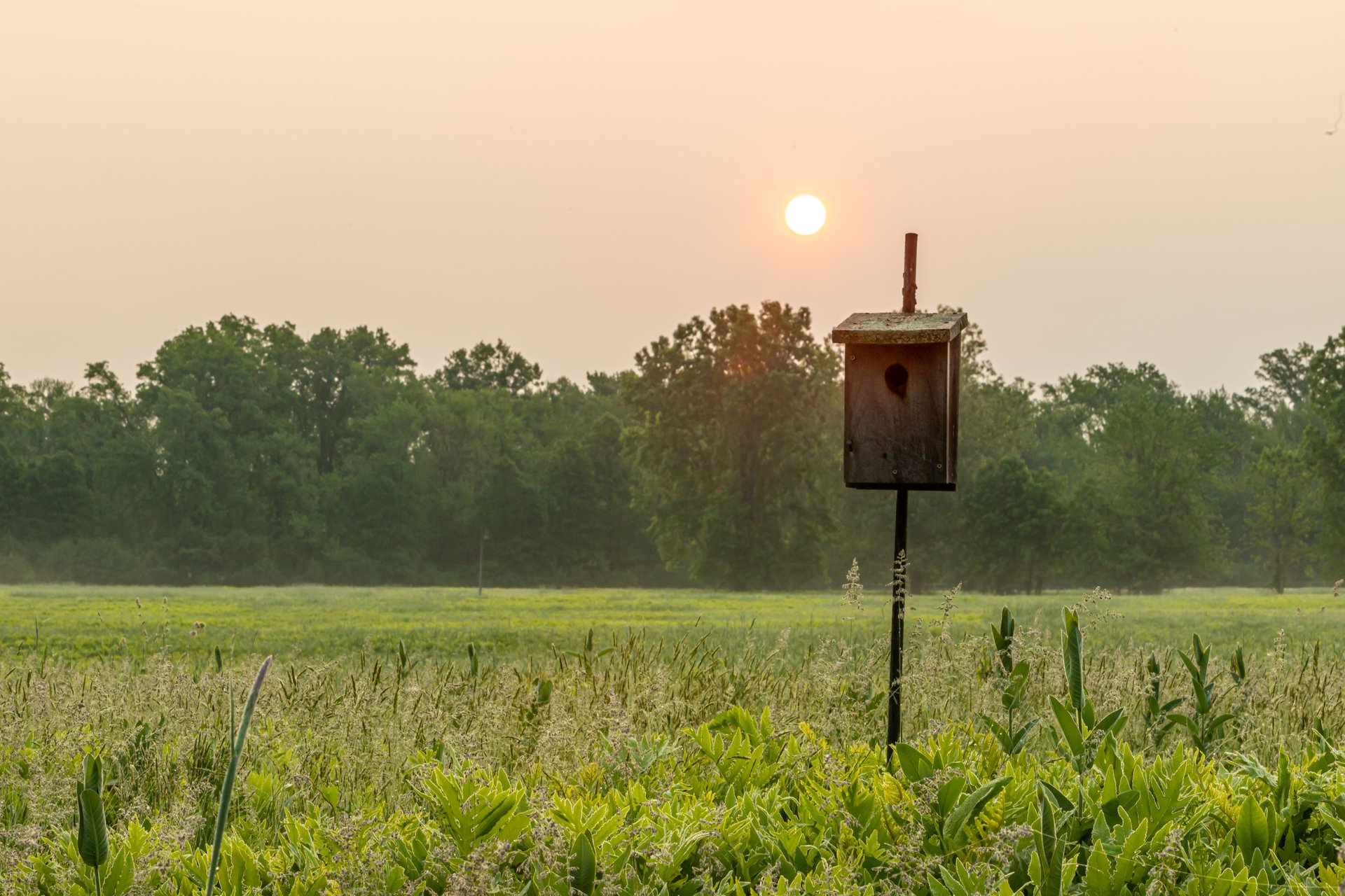
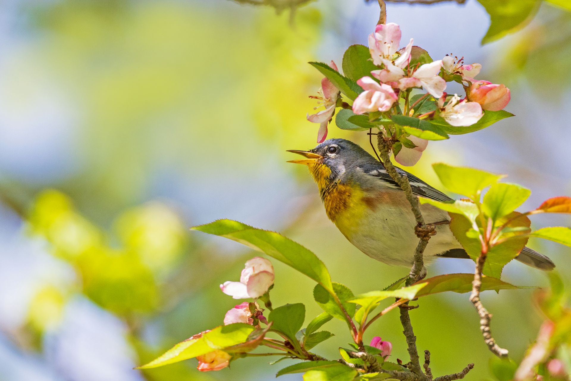
Birds & Birding at Arcadia
Arcadia hosts a wide variety of birds year-round. Join us on an upcoming birding program or go birding on your own.
Upcoming Programs
See moreSaturday Morning Bird Walk at Arcadia
-
Arcadia Wildlife Sanctuary, Easthampton
-
Saturday, May 23
7:00-8:30am
Adults
Accessible Birding Outing
-
Arcadia Wildlife Sanctuary, Easthampton
-
Saturday, May 23
8:00-10:00am
Adults
Parking Lot Birding
-
Arcadia Wildlife Sanctuary, Easthampton
-
Wednesday, May 27
7:00-8:00am
Adults
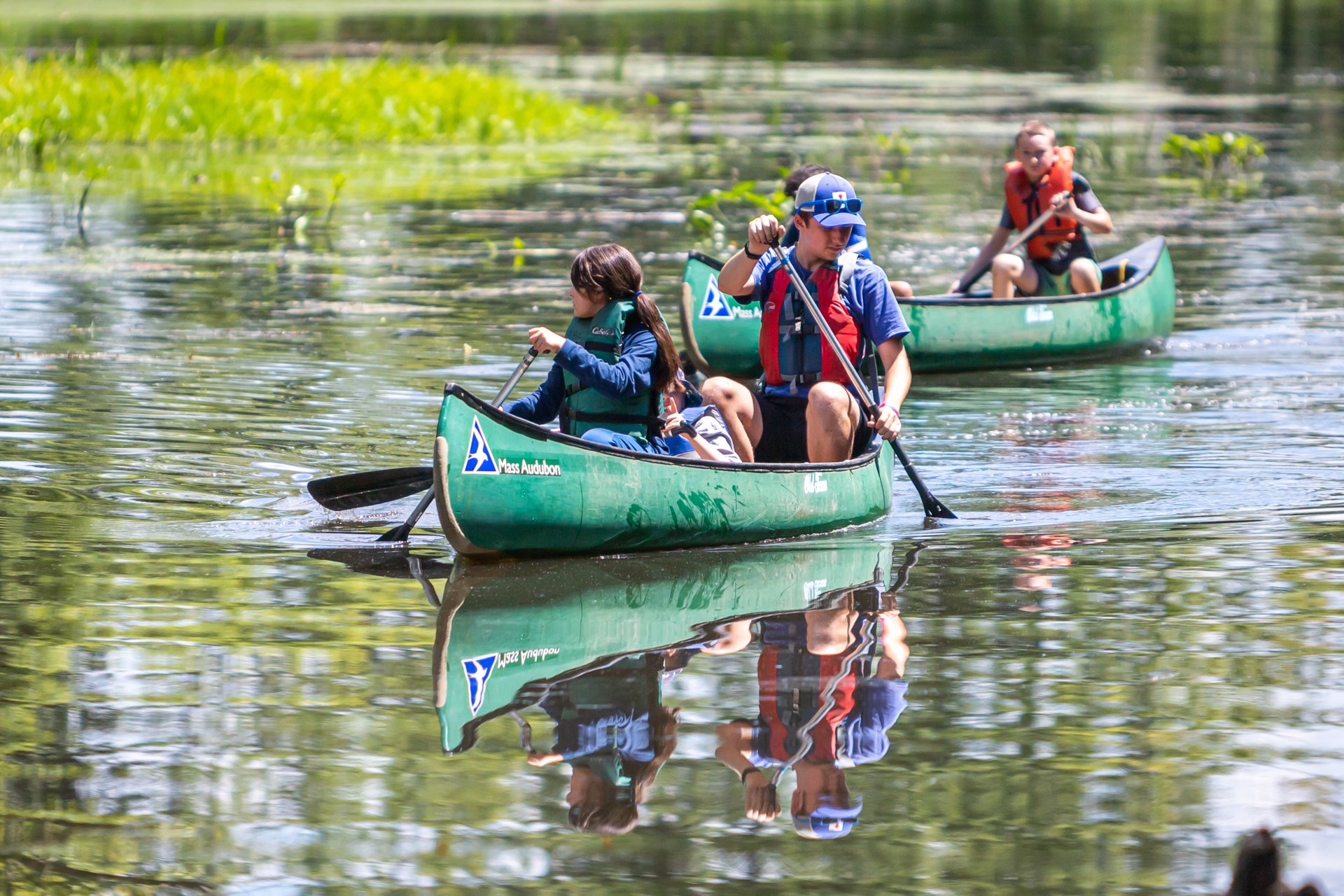
Explore Arcadia
-
-
 Arcadia Nature Camp, Easthampton, © Phil Doyle
 -
-
 Arcadia @ Phil Doyle
 -
-
-
-
Latest News
Sounds of Spring at the Sanctuaries
Keep Reading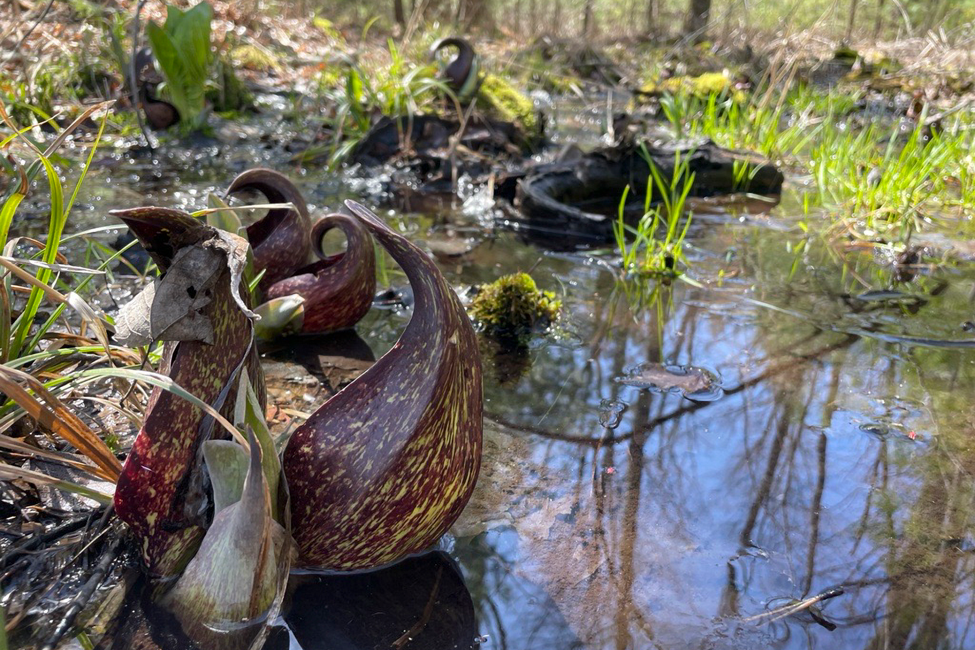
10 Ways to Celebrate the Spring Equinox
Keep ReadingStay Connected with Arcadia
Don’t miss a beat on all the ways you can get outdoors, celebrate nature, and get involved.