


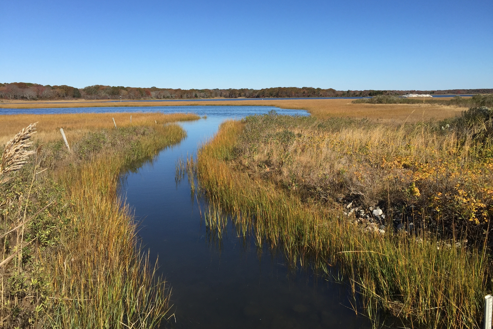
Salt Marsh Framework
A Science-based Tool for Making Impactful Decisions to Rescue Our Imperiled Coast
Mass Audubon’s novel Salt Marsh Framework guides not only Mass Audubon’s salt marsh restoration work but also helps other organizations involved in land protection and restoration along the coast to be similarly thoughtful in their projects and priorities.
The Salt Marsh Framework uses geospatial data to score salt marshes statewide by their:
- current condition (how is the marsh doing today?)
- future trajectory (will the marsh decline in the future, and how fast?)
- migration potential (is there room and appropriate land nearby for the marsh to migrate towards?)
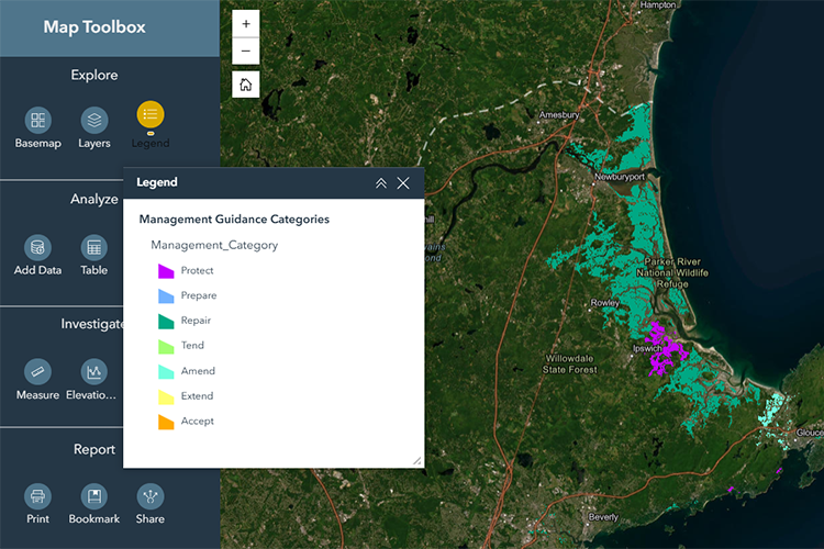
These scores are then used to suggest the most appropriate restoration and management actions, such as protecting, repairing, or preparing for migration.
Why Create the Framework?
The Massachusetts coastline is defined by a network of salt marshes, or coastal wetlands that flood and drain twice daily with saltwater from the tides. Salt marshes are important habitats and nurseries for fish, birds, and wildlife. They also buffer storm surge, improve water quality, store and sequester significant amounts of carbon, and provide other benefits for coastal communities.
Salt marshes face numerous threats, from development to climate change. Natural processes that sustain salt marshes have been largely interrupted given historical agricultural uses, extensive ditching, and coastal development and armoring.
Salt marshes are running out of space to move inland or upland and are at risk of drowning under rising seas. Without swift and meaningful interventions to protect and restore these systems, our coastal environment as we know it—both human and natural—could collapse.
Fortunately, we are capable of rebalancing the natural flow of tidal water and sediments to extend the life of many salt marshes. The framework will help drive action at the right places, at the right time, and with the right approach.
Using the Framework
The Framework assigns scores to salt marshes based on restoration and management actions (color-coded by ‘Management Guidance Categories’ under Legend) based on urgency and restoration potential, and additional layers—such as tidal restrictions, ditches, cranberry bog farms, and environmental justice populations.
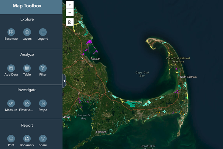
You can use the ‘Map Toolbox’ to explore and filter salt marshes:
- Explore lets you navigate around the map, including viewing salt marshes by Management Guidance Categories, Condition, and other data layers.
- Analyze filters the data.
- Investigate enables you to mark up the map and further explore through measuring and elevation tools.
- Report allows for custom data, map, and table exports
Designed for desktop use.
Watch our webinar, held in partnership with the SNEP Network, on using the framework here.
Get in Touch
For questions, comments, or data requests, email us. Mass Audubon staff are available to provide additional information and support to practitioners.
You May Also Be Interested In
Accelerate Wetland Restoration
Mass Audubon is working with our partners and members to speed up the pace of wetland restoration to benefit people and wildlife.
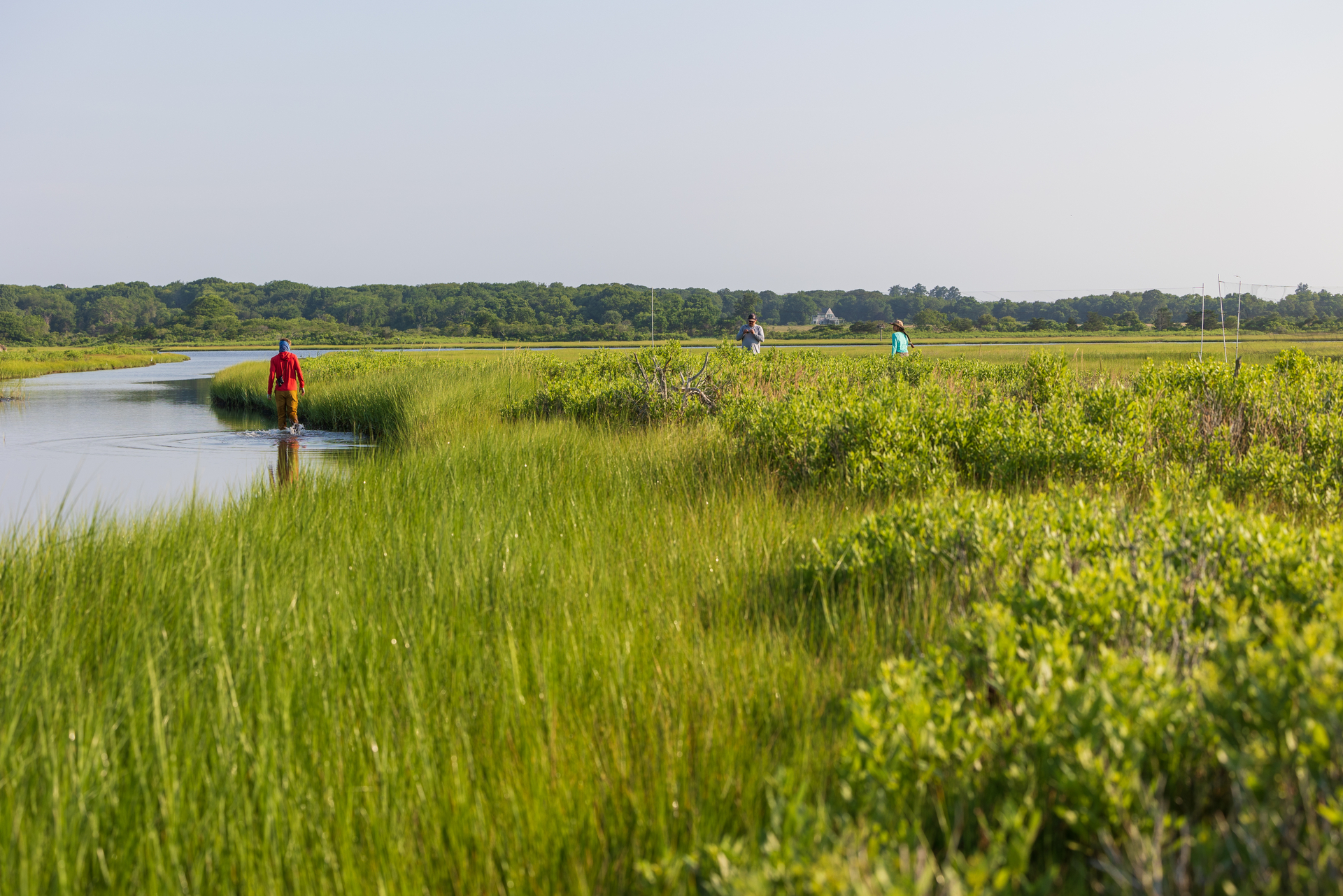
Ecological Restoration of Salt Marshes
Ecological restoration can help heal past damage and prepare salt marshes to withstand climate change and continue to thrive into the future.
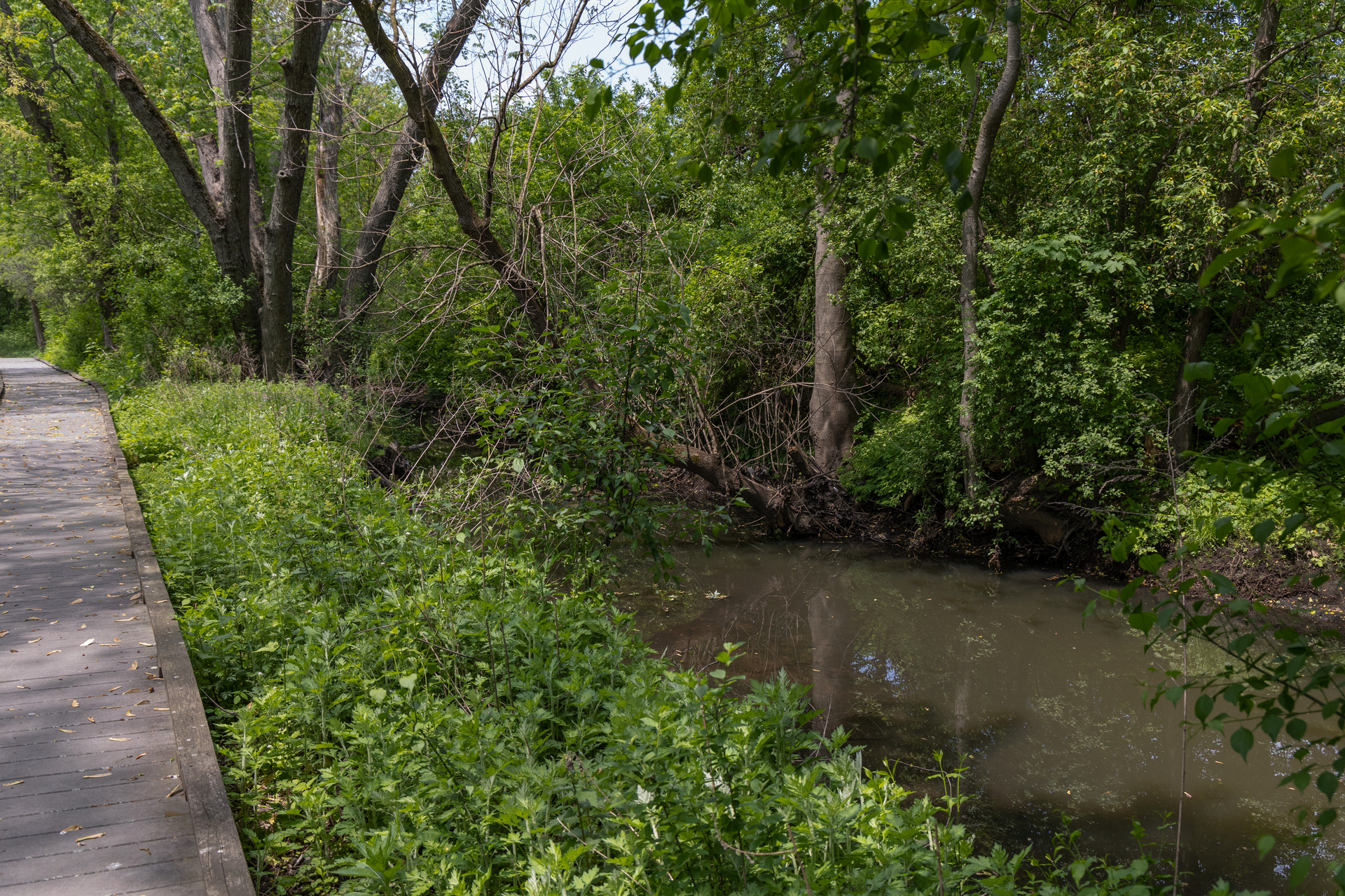
Restoring Canterbury Brook & the Boston Nature Center Wetlands
The Boston Nature Center—Mass Audubon’s 67 acre urban wildlife sanctuary in the heart of Mattapan—is undertaking a major, long-awaited ecological restoration of its severely degraded wetlands and connected Canterbury Brook.
Stay Connected
Don't miss a beat on all the ways you can get outdoors, celebrate nature, and get involved.