

Trails at Great Neck
Explore 4 miles of trails at Great Neck Wildlife Sanctuary that crisscross a network of protected forestland, where access is provided through the generosity of private landowners.
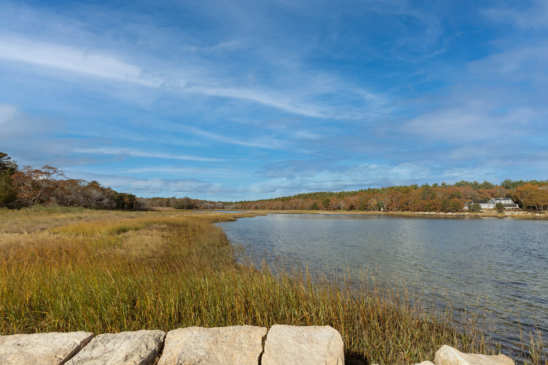
Wandering through pine forest on old carriage roads and deer paths, you may encounter a roosting Great Horned Owl or a wading Great Blue Heron at the marsh edge!
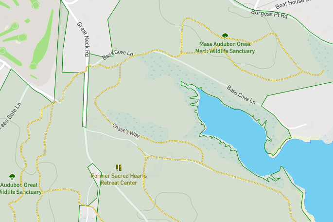
Digital Trail Map
Use your smartphone to navigate the sanctuary. View the map
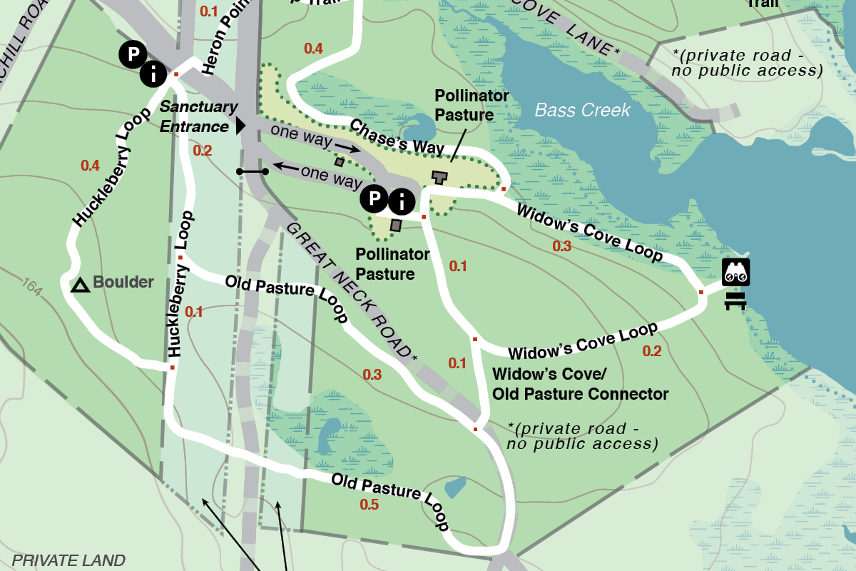
Download Trail Map
Trail Descriptions
Heron Point Loop Trail
Length: 0.9 miles
Details: Uneven ground with roots and rocks in the path. Generally, not suitable for most strollers or wheelchairs.
Special Features: Take the short spur to the Osprey Overlook for a view of the salt marsh.
Widows Cove Loop
Length: 0.6 miles
Details: Trail is a combination of rough dirt road and forested paths. Generally, not suitable for most strollers or wheelchairs.
Special Features: This trail leads to a sandy beach where one can observe shorebirds, ducks, and a scenic view of Buzzards Bay as well as two active osprey platforms.
Old Pasture Loop
Length: 0.8 miles
Details: Old carriage roads and forested paths, not suitable for wheelchairs or strollers.
Special Features: Wander through peaceful pine forest with excellent opportunities for woodland wildlife viewing.
Huckleberry Loop
Length: 0.7 miles
Details: Old carriage roads and forested paths, not suitable for wheelchairs or strollers.
Special Features: Interpretive panels highlight the unique nature of Great Neck in addition to a large boulder that has evidence of quarrying.