

Trails at Brewster's Woods
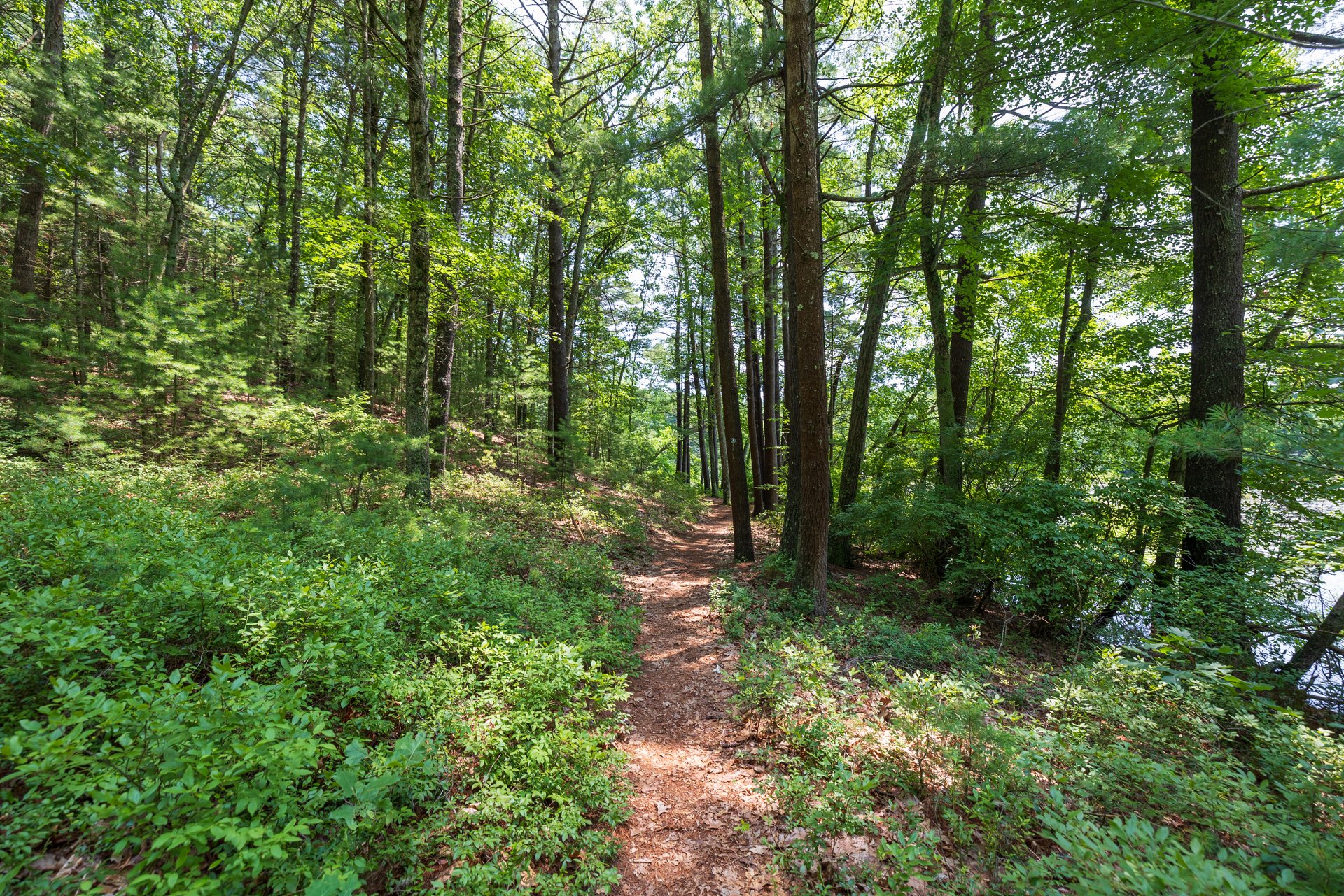
Explore two miles of trails at Brewster's Woods Wildlife Sanctuary. The trails are easy to rugged and lead you through the shade of mature woodlands into open fields and along the edges of the Concord River floodplain. The trails are also great pathways for birding, photography, and sketching.
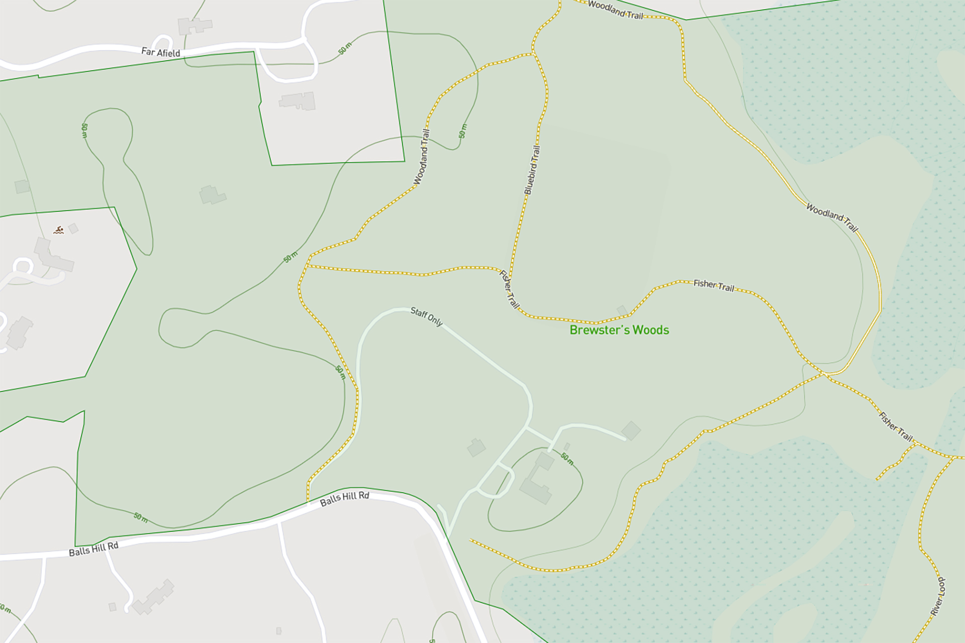
Digital Trail Map
Use your smartphone to navigate the sanctuary. View the map
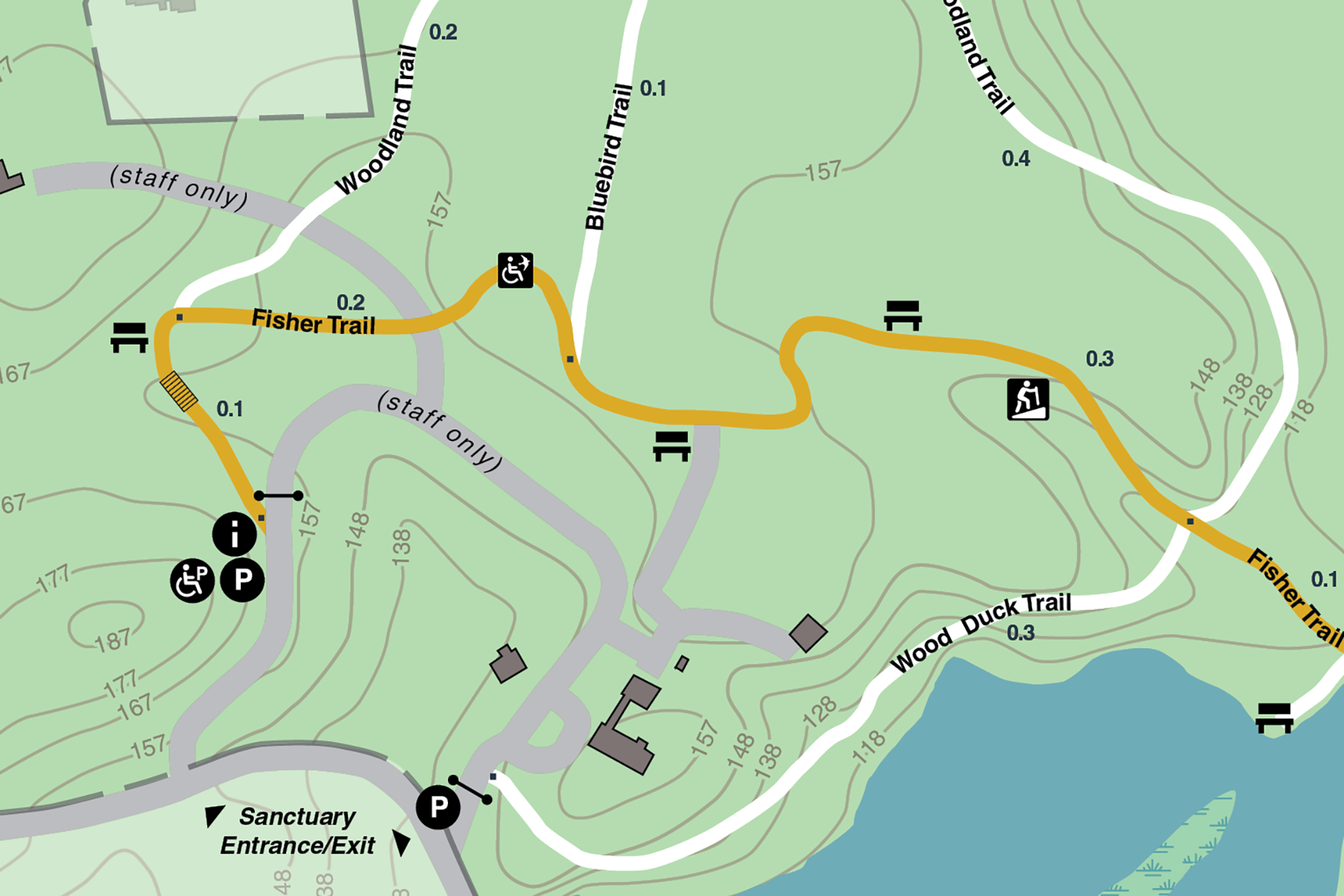
Download the Trail Map
Trail Descriptions
Fisher Trail (All Persons Trail)
Length: 1.2 miles (roundtrip)
Details: The Fisher Trail begins at the main parking area and wanders through mixed forest before passing the edge of a meadow and then proceeding downhill to inspiring views of the Concord River. Be sure to stop and look for wildlife—ducks, herons, and turtles—when crossing the dam that separates the marsh from the river.
This accessible All Persons Trail has a firm and stable surface of crushed stone. The grade of the first 0.4 mile of trail is at 5% or less, with the exception of four short sections (50-65’ in length each) where slopes are up to 8%. The remaining 0.2 mile of trail between the meadow and the river has steeper rolling terrain, where grades are consistently between 5-9%. Several seating areas are available along the trail.
River Loop
Length: 0.5 miles
Details: The River Loop provides a peaceful walk along the Concord River from the dam at the north end of the impoundment. Signs of beaver and muskrat are frequently seen; look for their worn paths down to the water’s edge. Don’t miss the lovely beech grove and stunning river views from the top of Davis Hill. At the south end of the loop, Brewster’s Woods connects to the October Farm Riverfront conservation area, where you can continue to enjoy miles of riverfront trail and discover the stone foundations of William Brewster’s cabins and boat house.
Woodland Trail
Length: 0.6 miles
Details: The Woodland Trail explores a variety of habitats along the floodplain of the Concord River and through mixed forest uplands. Pileated Woodpeckers and owls have been seen among the tall pines, with small mammals and the occasional deer, fox, and coyote as well.
Bluebird Field Loop
Length: 0.1 miles
Details: The Bluebird trail connects the Woodland Trail and the Fisher Trail along the edge of a former horse pasture now being restored as a meadow for bird and pollinator habitat. As the trail name suggests, Eastern Bluebirds are often present, along with a variety of songbirds and soaring hawks.
Wood Duck Trail
Length: 0.3 miles
Details: The Wood Duck Trail branches off from the Fisher Trail and follows the edge of the wetland. The trail slopes upwards towards the road and ends near our overflow parking area. Mallards, Great Blue Herons, and Wood Ducks are often seen.