

Land Stewardship
Mass Audubon actively manages more than 33,000 acres of wildlife habitat across the state, ranging from barrier beaches to open fields to northern hardwood forests.
Every Mass Audubon wildlife sanctuary is covered by a current ecological management plan. These plans identify the conservation assets provided by a sanctuary and prescribe actions necessary to maintain or enhance those assets in the face of 21st century challenges. Through this planning process, Mass Audubon strives to choose management actions that have measurable and lasting benefit to the nature of Massachusetts.
Habitat Management
We actively manage wildlife habitat across our entire wildlife sanctuary system to maintain and enhance uncommon, exemplary, and vulnerable natural communities on our land.
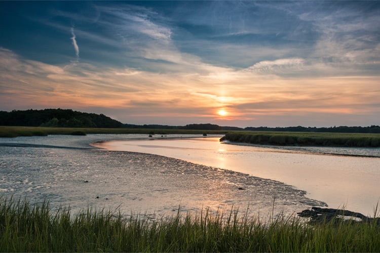
Coastal
We protect, manage, and restore salt marshes, bird breeding islands, beaches, and coastal uplands.
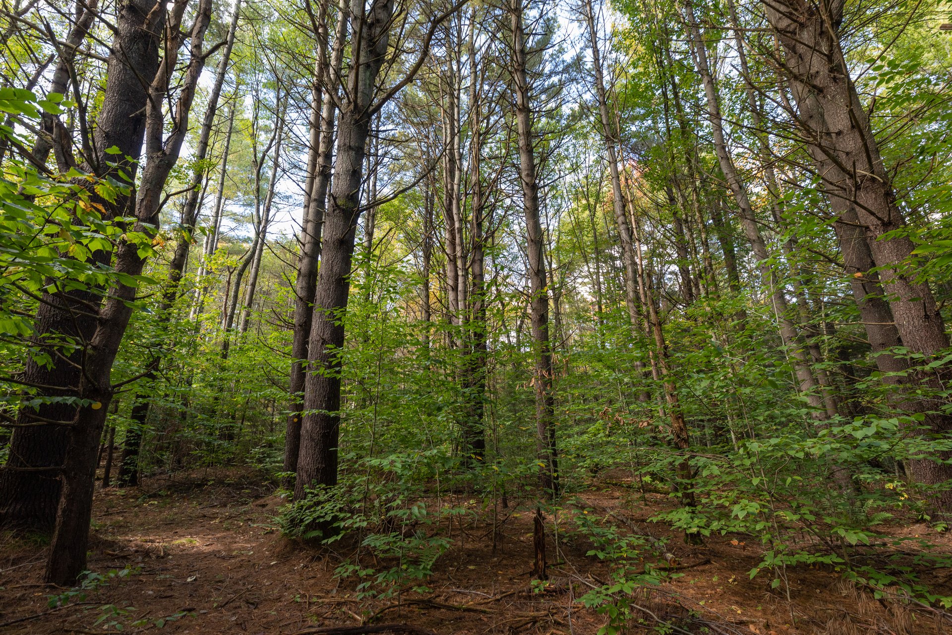
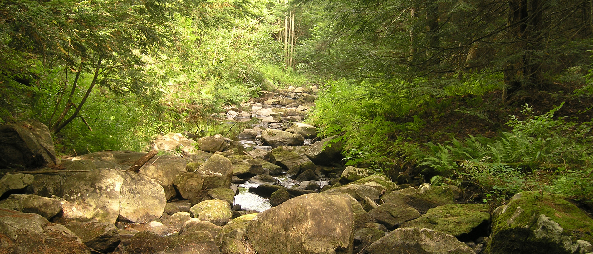
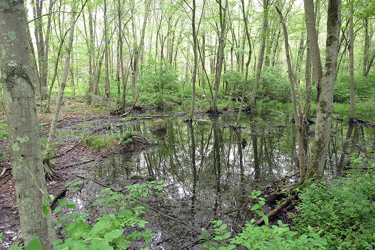
Forests
Forests of various ages provide many ecological services and require different management strategies.
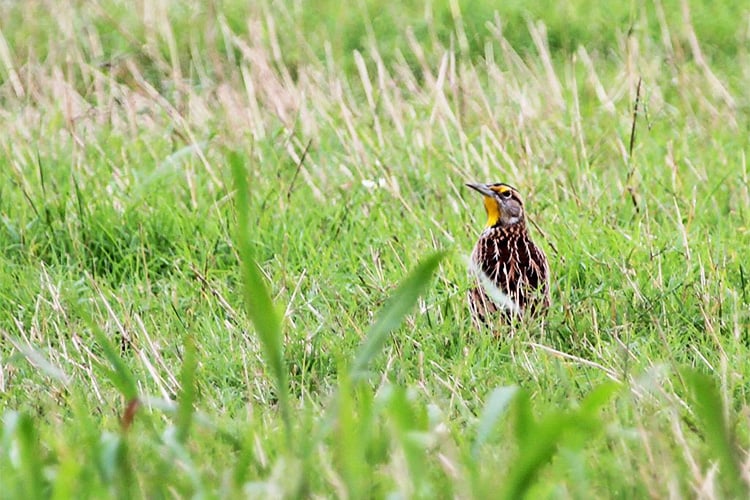
Grasslands
We develop sustainable management practices for grasslands.
Vernal Pools
These seasonal wetlands provide critical breeding habitat for several amphibian and invertebrate species.
Reducing Stressors to Increase Resilience
Resilience is the capacity of a natural system to respond to disturbances by changing while maintaining basic functions such as pollination, plant succession and nutrient cycling.
Climate change and other ecosystem stressors are altering the habitats of Massachusetts. Reducing as many stressors as possible increases resilience. We strive to reduce ecosystem stressors on all lands we manage. Examples include:
Invasive Species Management
Mass Audubon considers invasive species to be one of the greatest threats to the nature of Massachusetts because they out-compete, displace, or kill native species.
Our approach to addressing invasive species includes projects on our wildlife sanctuaries, supporting statewide initiatives, and educating the public. Get more details
Reducing White-tailed Deer Density
White-tailed Deer are a native species in Massachusetts, but in the absence of their natural predators (wolves and mountain lions) these charismatic animals have reached an unsustainably high population density in many parts of the state.
At very high densities, White-tailed Deer devour the forest understory—resulting in decreased plant diversity, destruction of nesting and perching habitat for birds and other wildlife, and removal of tree seedlings and saplings that would have been the next generation of our forests. Learn more