


Mass Audubon's Losing Ground Report
Over the past 50 years, the landscape of Massachusetts has been transformed by new residential and commercial development. Eastern and southeastern Massachusetts have undergone the most change, but virtually every community in the Commonwealth has experienced rapid growth driven by economic and demographic factors.
Since 1991, Mass Audubon has been using the most up-to-date technology and methods available to analyze changes to land use patterns in Massachusetts every five years. The results are published in our Losing Ground report series, providing conservationists, town planners, and agencies with information for planning and advocacy.
Latest Report
Losing Ground: Nature's Value in a Changing Climate • Sixth Edition (2020)
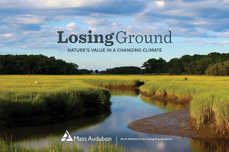
The sixth edition of our report, Losing Ground: Nature's Value in a Changing Climate, focuses on the pace and patterns of land development and land protection in Massachusetts between 2012 and 2017.
It comes at a time when the effects of climate change are becoming increasingly evident across the Commonwealth—and around the world—and the value of undeveloped land has become even more crucial to reducing greenhouse gas emissions and providing resilience in the face of growing environmental threats. Get a summary of the key findings and conclusions
Download the Report
Coming Soon: Explore the Data
Access to key statistics from the report at the following levels: town, watershed, county, and regional planning agency.
There are many potential pathways for development and conservation across Massachusetts and the region. Decisions made today will influence the future in profound ways. —Losing Ground: Nature's Value in a Changing Climate
Previous Editions
Losing Ground: Planning for Resilience • Fifth Edition (2014)
The fifth edition of Losing Ground found that, between 2005 and 2013, the rate of land protected in Massachusetts increased to 41 acres/day while the rate of land lost to development decreased to 13 acres/day. However, the report's period of analysis included the years of the Great Recession, when development slowed dramatically. At the time of publication, new housing permit data suggested that development would start trending back up towards previous rates.
Losing Ground: Beyond the Footprint • Fourth Edition (2009)
The fourth edition of Losing Ground showed a reversed trend of land development and conservation, with 40 acres of open space being protected every day and the loss of 20 acres, but with development impacts outside of building footprints at 80 acres a day.
Losing Ground: At What Cost? • Third Edition (2003)
The analysis presented in the third edition of Losing Ground illustrated that, between 1985 and 1999, Massachusetts lost 40 acres of open space per day with significant accompanying changes in land use and impacts on habitat, biodiversity, and ecosystem services.
Losing Ground: Analysis of Recent Rates and Patterns of Development & Their Effects on Open Space in Massachusetts • Second Edition (1999)
In the second edition of Losing Ground, our analysis revealed that the Commonwealth was losing 44 acres of open space per day, primarily to large-lot residential development.
Losing Ground: The Case for Land Conservation in Massachusetts • First Edition (1987)
The first edition of Losing Ground demonstrated that over 100,000 acres of land was lost to development between 1981 and 1986.