

Fight Climate Change
Local Climate Resilient Communities
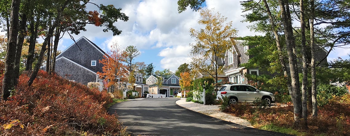
Decisions about land use made at the community level have a major impact on climate resilience. Virtually every community in the Commonwealth has experienced rapid growth and development over the past few decades, and conventional development can exacerbate climate impacts. For instance, more paved surfaces can lead to increased flooding, and clearcutting trees means losing the carbon storage and many other ecosystem services they provide.
There are ways to balance the need for development, especially affordable housing, with conservation through cost-effective, nature-based climate solutions.
Nature-based climate solutions protect, restore, and/or manage an existing ecological system or mimic natural processes, to protect public health and clean water, increase natural hazard resilience, and/or sequester carbon.
Forests, wetlands, parks, and other green spaces help reduce climate impacts while providing many other benefits, from reduced flooding to improved public health. These natural areas also provide functions like water filtration that would otherwise require expensive “grey” infrastructure like water treatment facilities. Two types of nature-based climate solutions communities can use are Green Infrastructure and Low Impact Development:
- Green Infrastructure refers to conservation or restoration of natural features and processes that already provide benefits to nature and people, like floodplains, forests, and wetlands. Green infrastructure also refers to designed landscapes that put natural systems to work, like using soil and vegetation to capture and treat stormwater runoff.
- Low Impact Development (LID) offers more engineered actions or strategies that seek to mimic green infrastructure and its benefits, and decrease the impact of development on the landscape.
Prioritizing these nature-based, and often more cost-effective, solutions is a way to take action to build resilience locally.
How Mass Audubon Helps
Mass Audubon works with partners to develop resources and programs that help communities:
- Conserve natural areas already serving these functions
- Integrate nature into new and re-development
- Restore wetlands and degraded lands, plant trees and improve resilience with natural and built green infrastructure
Tools and Resources for Communities
Guidebook to Involvement in Your Community provides community members with an understanding of how land-use decisions are made in Massachusetts, and how you can play a role in your own city or town.
Losing Ground report series analyzes changes to land use patterns in Massachusetts every five years, providing conservationists, town planners, and agencies with information for planning and advocacy.
Low Impact Development fact sheets review how LID can help communities save land, water, and money, while our bylaw review tool lets you learn what to look for in your local bylaws and land use regulations to make LID more accessible. You can also determine which best practices your community is already following and where it can improve.
Value of Nature fact sheets take a deeper look at the financial and health benefits our ecosystems provide us. Based on a literature review of over 100 technical papers, they provide easy access to facts and figures on the importance of protecting our natural spaces, and why nature-based solutions are often the best choice when addressing problems like flooding and poor air quality within our communities.
Contact Us
For more information or to see any past presentations on our community resilience work, please reach out via email.