

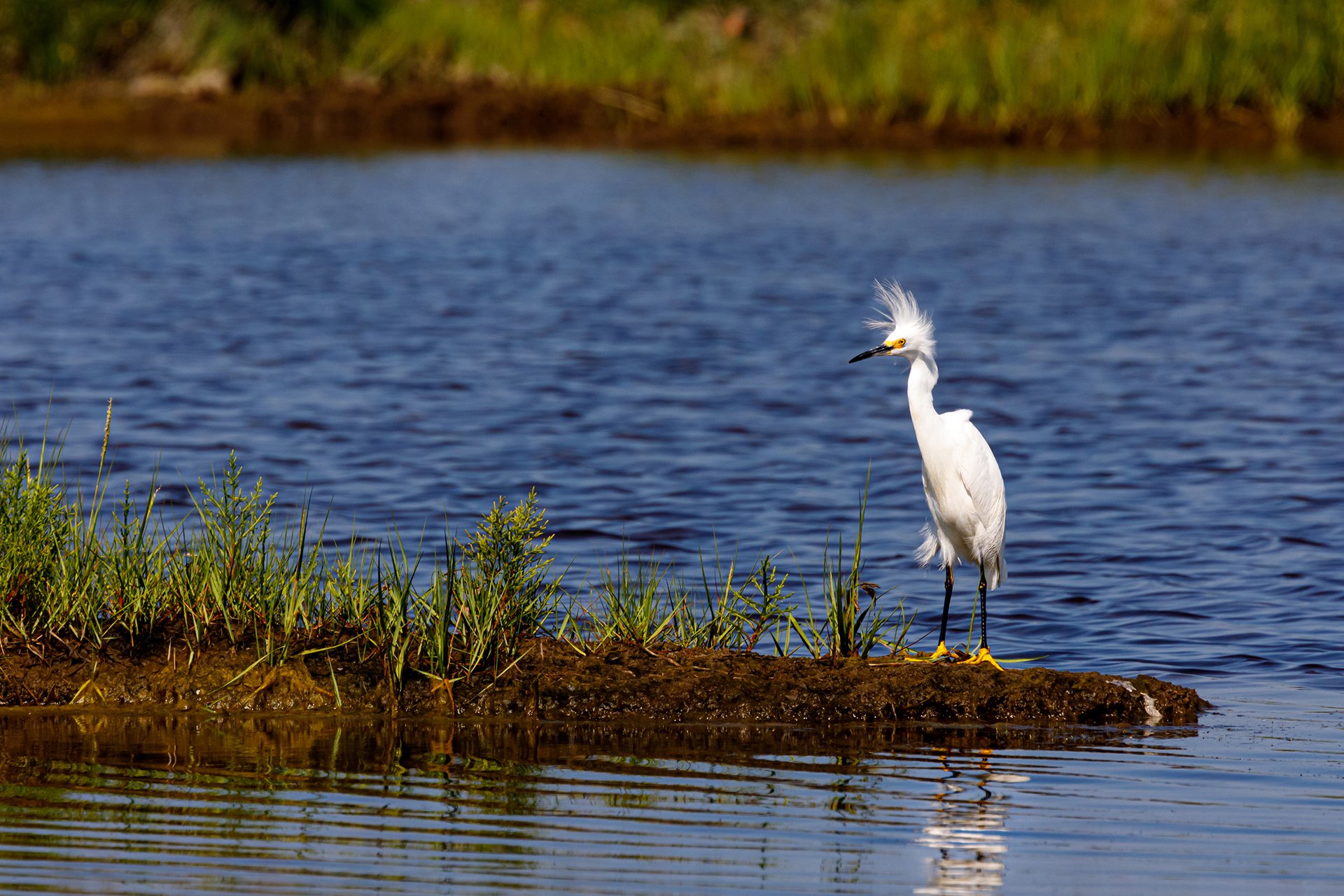
Salt Marsh Science Project
Salt Marsh Science Project Results & Data
Students in coastal Massachusetts, particularly on the North Shore, have been working with Mass Audubon's scientists to collect exciting data about salt marshes. This information is used to help protect and restore this critical wildlife habitat. Click on the following areas to find out more about the data collected.
Salt Marsh Science Data Sets
Salinity
As part of Mass Audubon’s Salt Marsh Science Project, scientists and students have been measuring the salinity (salt content) of water at different depths to learn whether Phragmites distribution within the salt marsh is controlled by ground water (water deep below the ground surface that is the source of well and spring water) or interstitial salinity (water just below the ground surface from the tide). Get the salinity data
Vegetation
Mass Audubon scientists are leading efforts to monitor the vegetation of salt marshes over time, particularly where the Phragmites are growing. Middle and high school students are helping with this monitoring through participating in Mass Audubon’s Salt Marsh Science Project. We are investigating whether Phragmites are spreading in the salt marsh, how fast Phragmites are spreading, and whether the height and spread rate is impacted by different salinity (salt content) levels. Get the vegetation data
Fish
Students participating in Mass Audubon’s Salt Marsh Science Project are helping collect data on fish. Many sites that they are investigating are on sites where roads have been blocking the flow of the incoming tide. To investigate whether these “tidal restrictions” are affecting fish, minnow traps are set on both sides: upstream and downstream. Middle School and High School students are investigating sites on the North Shore of Massachusetts. Get the fish data
Marsh Sediment
With the help of high school and middle school students, Mass Audubon’s Salt Marsh Science Project is able to measure the vertical sediment deposition (gradual pile up of additional layers of sediment) on salt marshes across the North Shore using marker horizons. After one year or more, we go back and measure the amount of sediment accumulated on top of the marker. Get the marsh sediment data
Curriculum
Middle & High School Students
This curriculum includes classroom activities, identification sheets, and a dichotomous key for identifying salt marsh plants. It also provides data sheets for salt marsh field trips. Mass Audubon is pleased to offer these tried-and-true methods for studying Phragmites, vegetation, fish, and salinity in salt marshes! Get the curriculum & learn more
Data Nuggets
During 2015 Mass Audubon’s Salt Marsh Science Project (SMS) and Plum Island Ecosystems Long Term Ecological Research (PIE-LTER) began involvement via our Schoolyard K-12 education program with the Michigan State University NSF sponsored Data Nuggets activity. Data Nuggets are created to bring real data from current and ongoing research into the classroom and take students through the process of science, from the inception of ideas to the analysis and interpretation of data.
Examples and links to PIE LTER Schoolyard K-12 education program associated Data Nuggets.
- Can a salt marsh recover after restoration?*
- Can mudsnails disrupt a salt marsh foodweb?
- Does sea level rise harm Saltmarsh Sparrows?
- Keeping up with Sea Level Rise
- Invasive Reeds in the Salt Marsh*
- Is your salt marsh in the zone?
- Make Way For Mummichogs*
- Marsh Makeover
- Urbanization and Estuary Eutrophication
Additional Data Nuggets Based on Great Marsh Research
Green Crabs: Invaders in the Great Marsh
* Based on SMS Student Data.
Other Related Websites
- PIE-LTER Schoolyard K-12 education program (Plum Island Ecosystems Long Term Ecological Research)
- Gulf of Maine Institute
- Eight Towns and the Great Marsh (hosted by the Merrimack Valley Planning Commission)
- The Great Marsh Coalition