

Nature & Wildlife
In Massachusetts, each season presents new and exciting opportunities to explore and understand our ever-changing landscape and its inhabitants. Here you can find information about commonly encountered wildlife and invasive plants.
Plants & Animals Found in Massachusetts
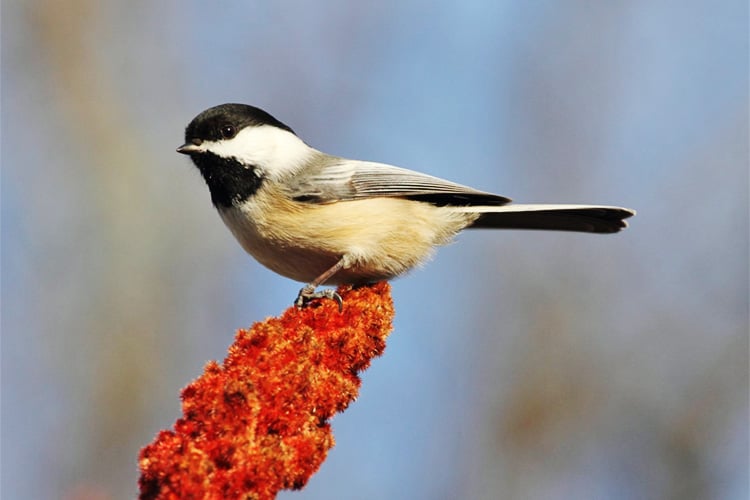
Birds
Discover the birds—and bird behaviors—you're likely to encounter in Massachusetts.
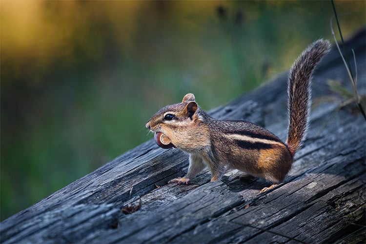
Mammals
From chipmunks to moose, the Commonwealth is home to mammals of all sizes.
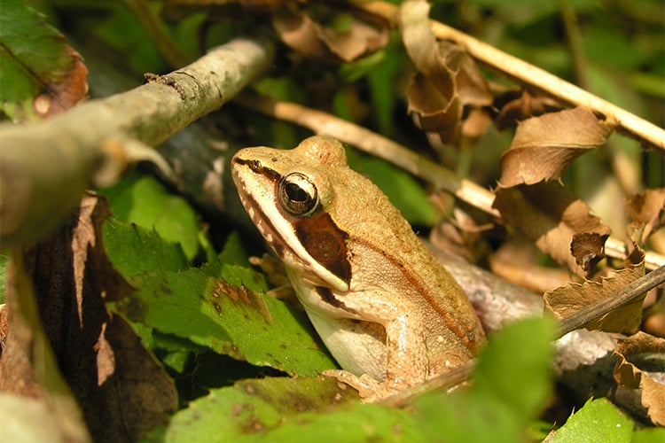
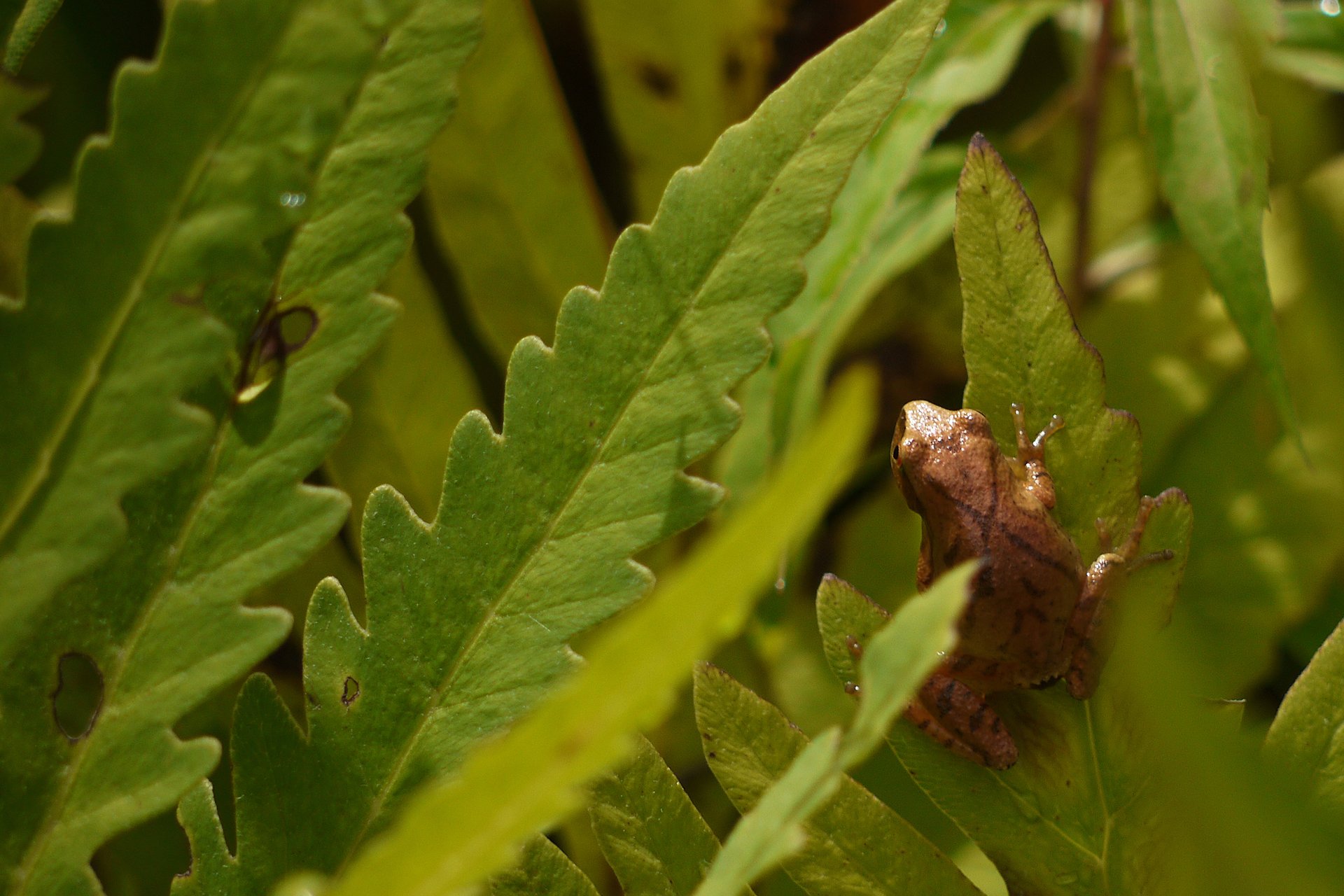
Reptiles & Amphibians
They may seem similar, but these two ancient groups have very different (very cool) adaptations.
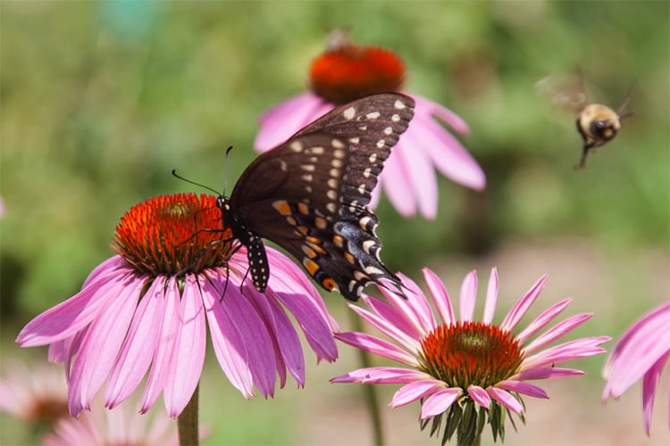
Insects & Arachnids
Love them or fear them, insects and arachnids play a fundamental role in nature.
Native & Invasive Plants
Learn to recognize helpful native, and harmful invasive, plants.
Outdoor Almanac
What does Mother Nature have planned in the coming weeks? Find out with Mass Audubon's monthly guide to the natural world.
Stories from the Field, Forest, & Beyond
-
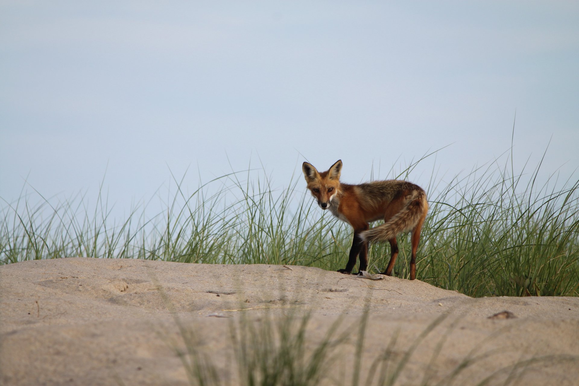 © Jim O'Driscoll
Fox or Coyote? How to Tell the Difference
Most of us only ever catch fleeting glimpses of coyotes or foxes, and these brief encounters can leave us wondering what species we saw.
-
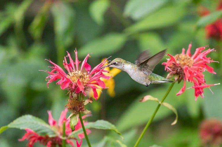
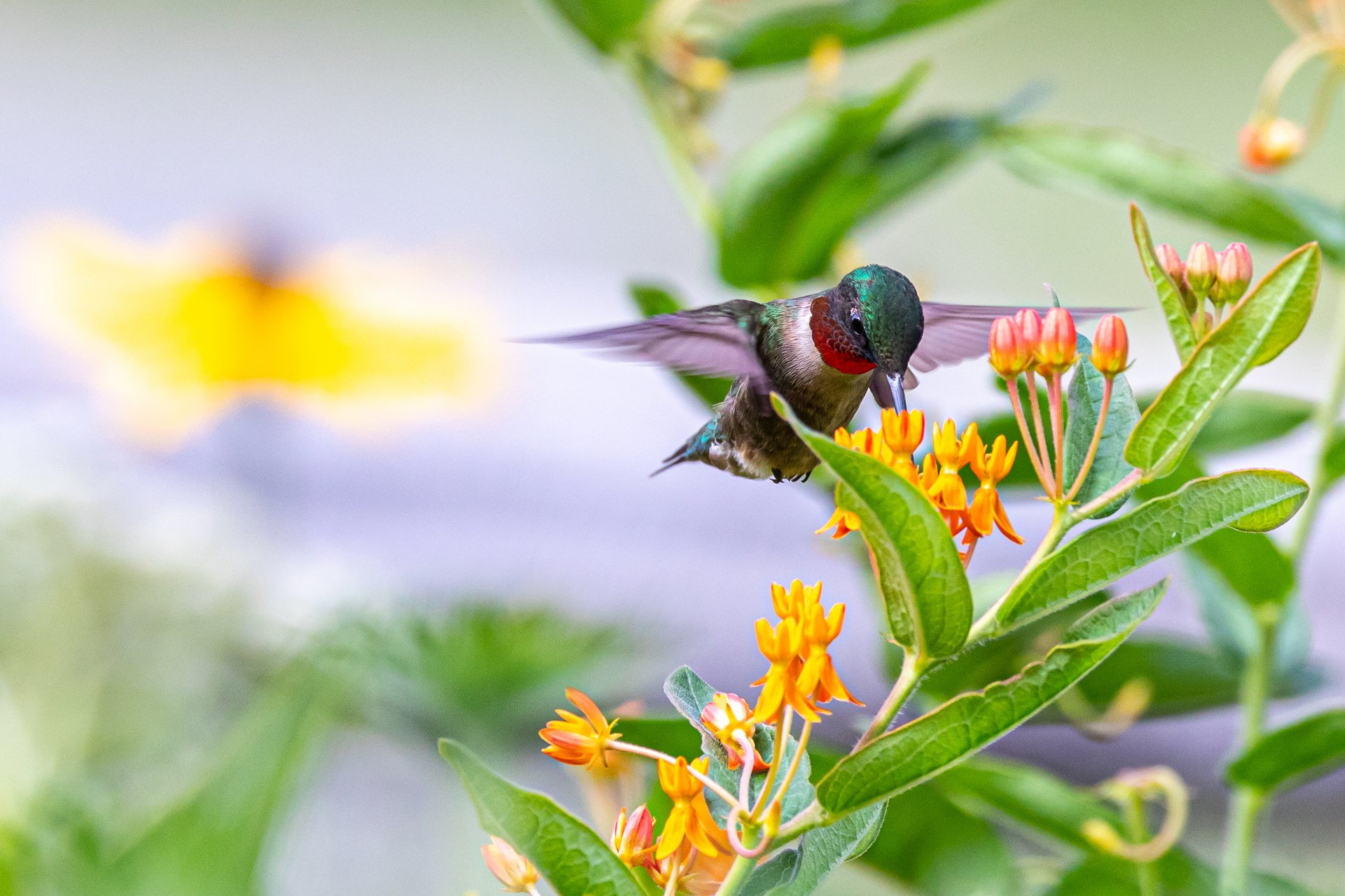 Ruby-throated Hummingbird © Jason Gilbody
Landscaping for Birds
Learn how to manage your land for bird health.
-
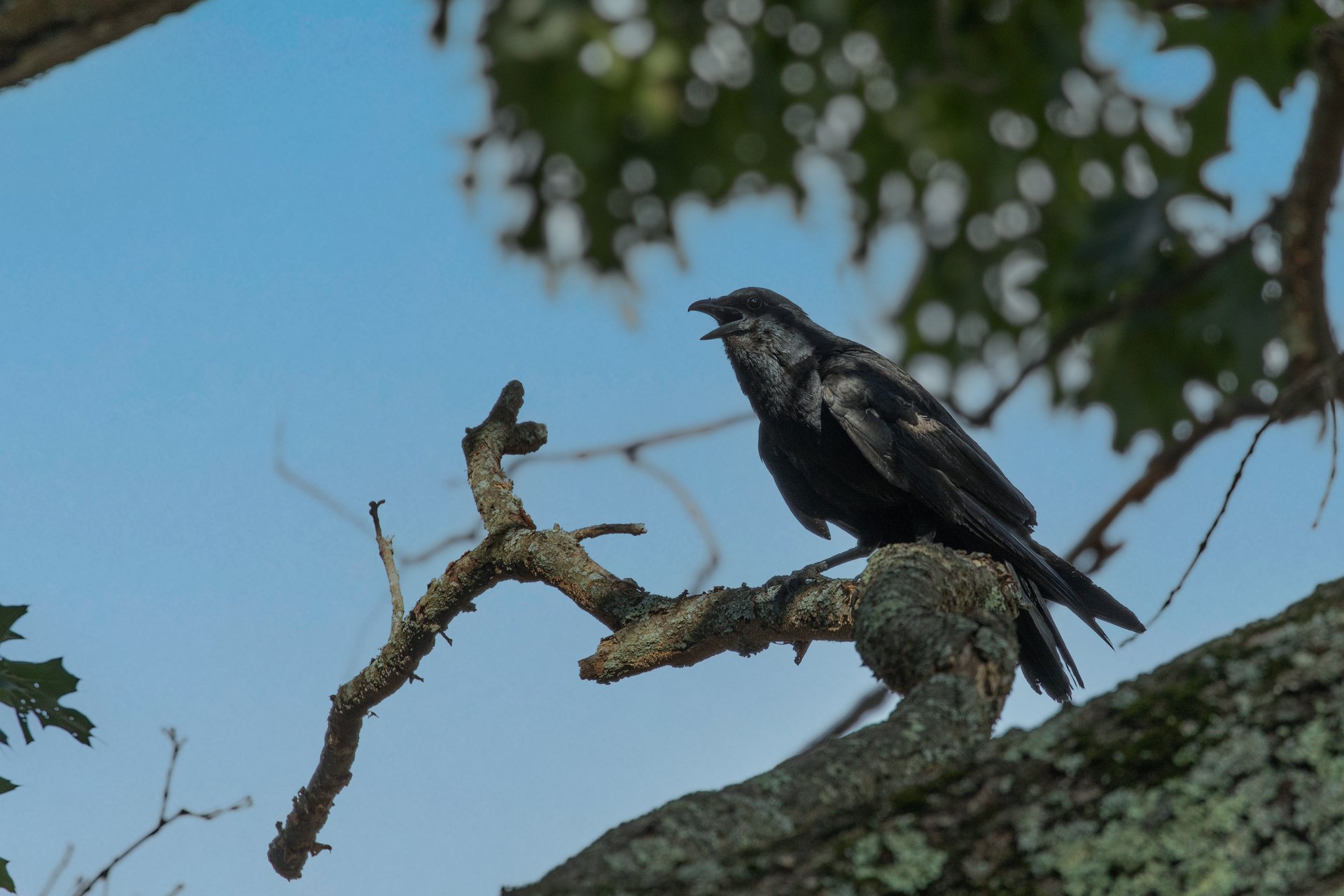 Fish Crow
Crow, Raven, or Grackle? How to Tell the Difference
Noisy and full of personality, crows, ravens, and grackles are very noticeable. But telling them apart is a different story. So just how can you distinguish a raven from a crow from a grackle?
-
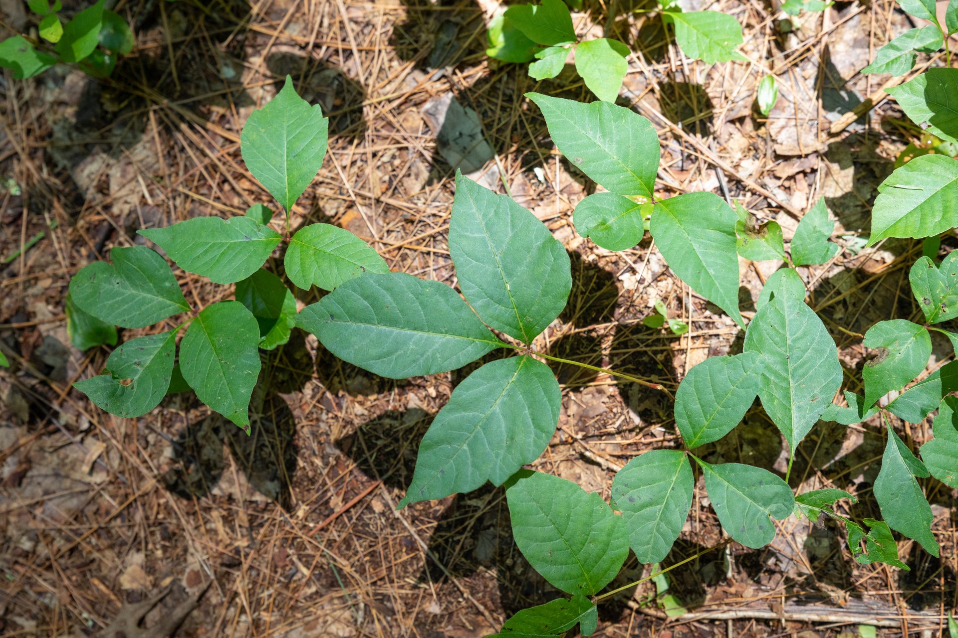
How to Recognize Poison Ivy
Here's what to look for to avoid a potentially itchy situation.
Find a Wildlife Rehabilitator
If a bird or animal is really injured, contact a licensed wildlife rehabilitator.
Upcoming Programs
See all programsWednesday Morning Birding
-
Newburyport and vicinity
-
Wednesday, April 24
9:30am-12:30pm
Adults
Preschool Story & Nature Hour - Worms
-
Wachusett Meadow Wildlife Sanctuary, Princeton
-
Wednesday, April 24
10:30-11:30am
Families - children 2.5 - 5 years
Birding by Ear at Wompatuck State Park
-
Thursday, April 25
8:00-10:30am
Adults
Take Action
We need your curiosity, commitment, and passion to ensure that our lands become more resilient, that more people than ever experience the magic of nature, and that we fight climate change—now and in the future.
Stay Connected
Don't miss a beat on all the ways you can get outdoors, celebrate nature, and get involved.