Enjoy the spectacular views of the Deerfield River Valley and Mount Greylock from the ledges at the end of the sanctuary road. Spring is the best time to see many wildflowers; although the entire flower season offers both common and uncommon wildflowers and ferns. Some trails may be strenuous, but the views are worth it.


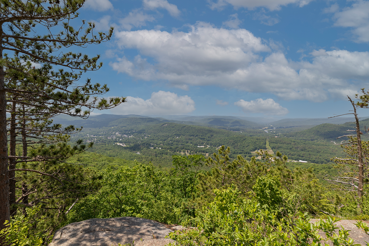

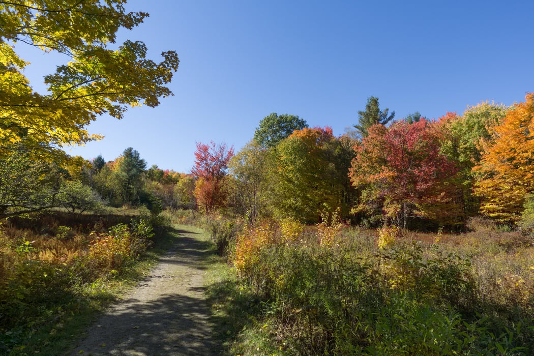
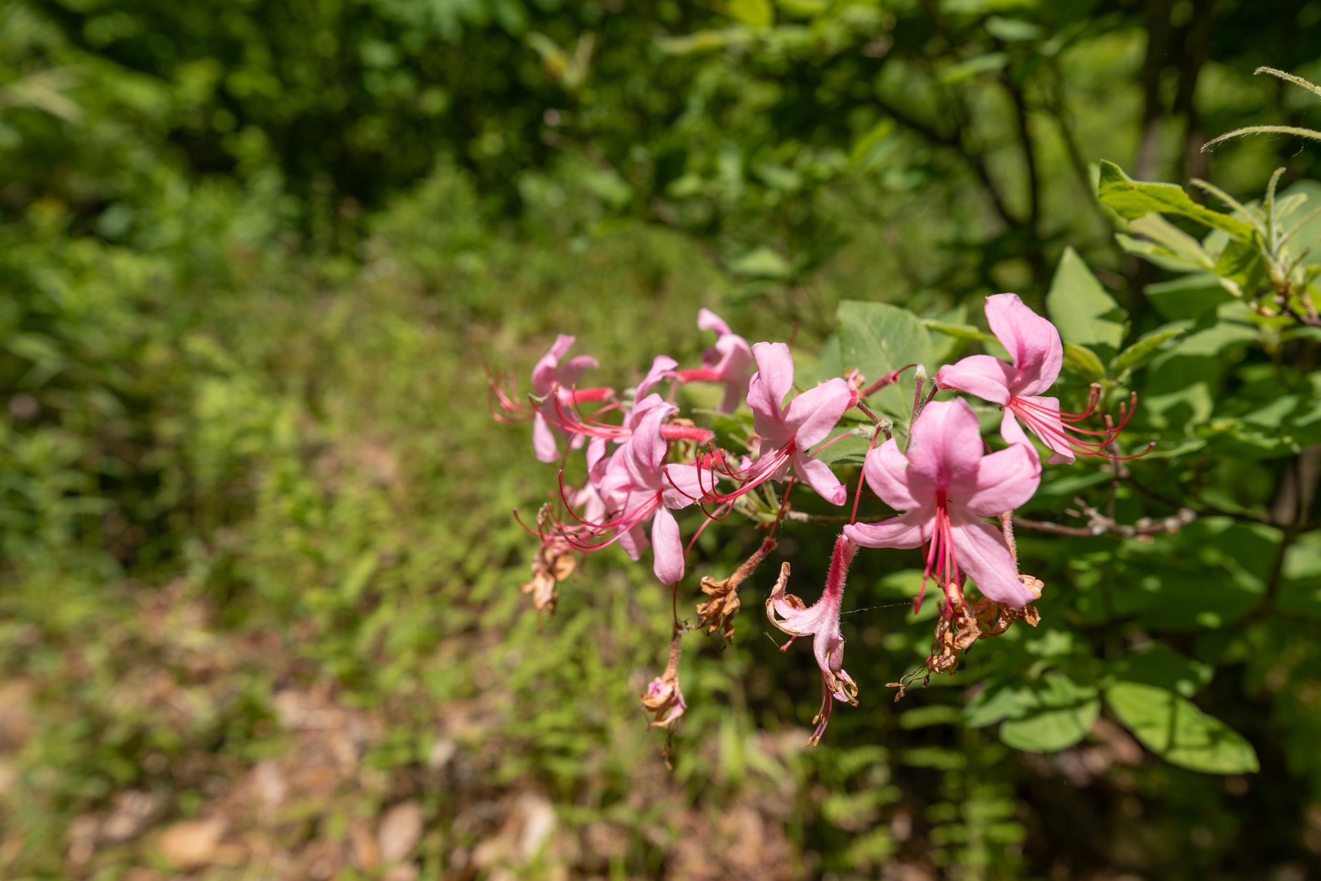 High Ledges, Shelburne