

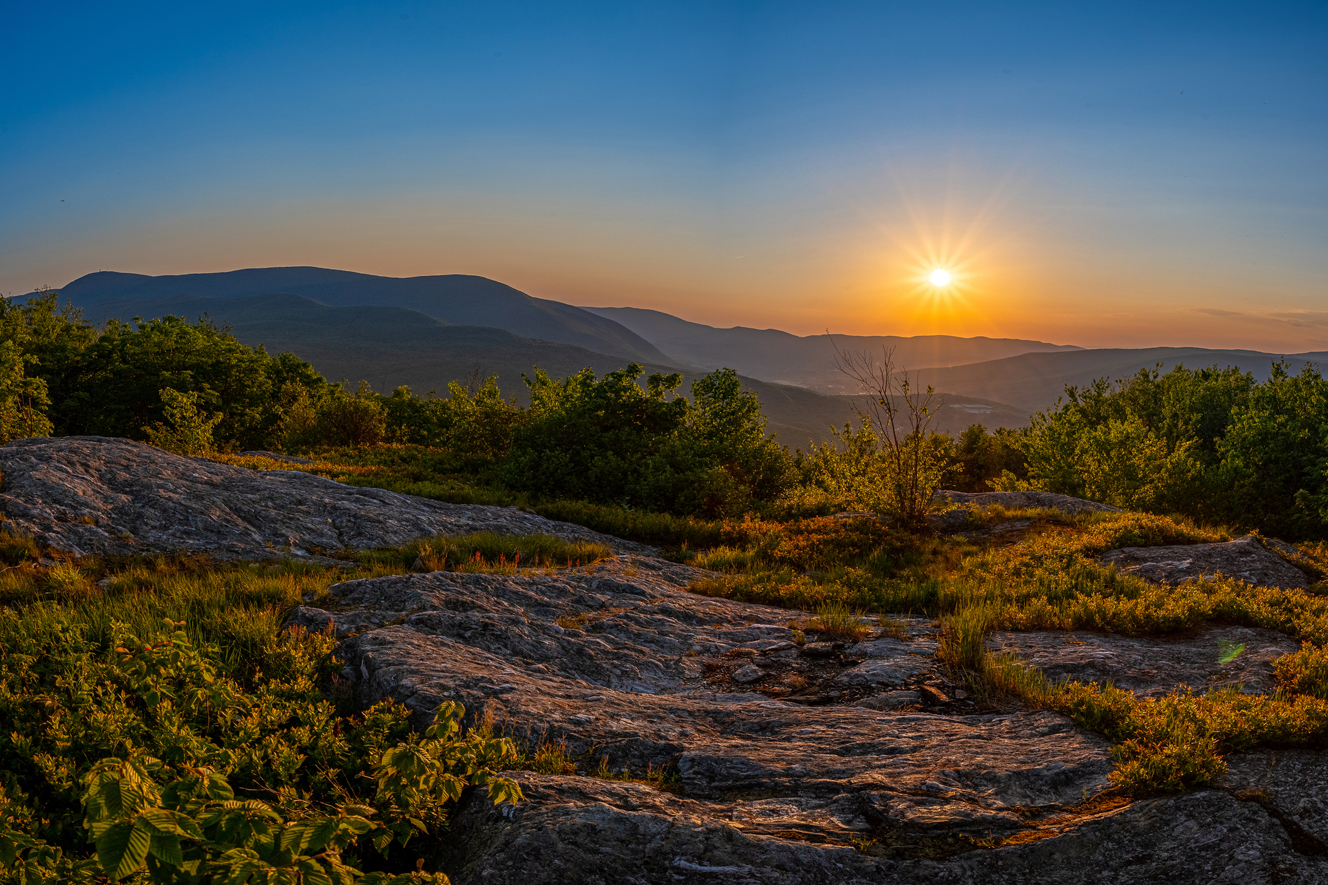
Resilient Lands
Resilient landscapes are large, connected lands that provide unique, long-term benefits for people and wildlife.
A resilient landscape hosts healthy, diverse habitats and migratory corridors for wildlife. It provides clean air, clean water, and recreation opportunities. Resilient landscapes can also adapt to or mitigate the effects of climate change.
Now more than ever, we need to focus on fostering resilient landscapes.
Why Resilient Landscapes Matter
The natural resources of Massachusetts face daunting challenges from development, climate change, and other factors.
We could see a proliferation of invasive species, an increase in costly natural disasters, and even compromised air and water quality. For the health of people and wildlife, Mass Audubon is taking a comprehensive approach.
What We're Doing to Support Resilient Lands
Mass Audubon is a leading environmental nonprofit organization fostering resilient landscapes. We've identified key natural areas in the state, such as forests, coastal watersheds, and river corridors to focus our efforts. These areas offer the most significant ecological benefits when managed for resiliency.
Our three-pronged approach includes protecting land from development, restoring habitat health, and stewarding land for long-term success.
Land Protection
Mass Audubon protects more than 41,000 acres across the state.
Ecological Restoration
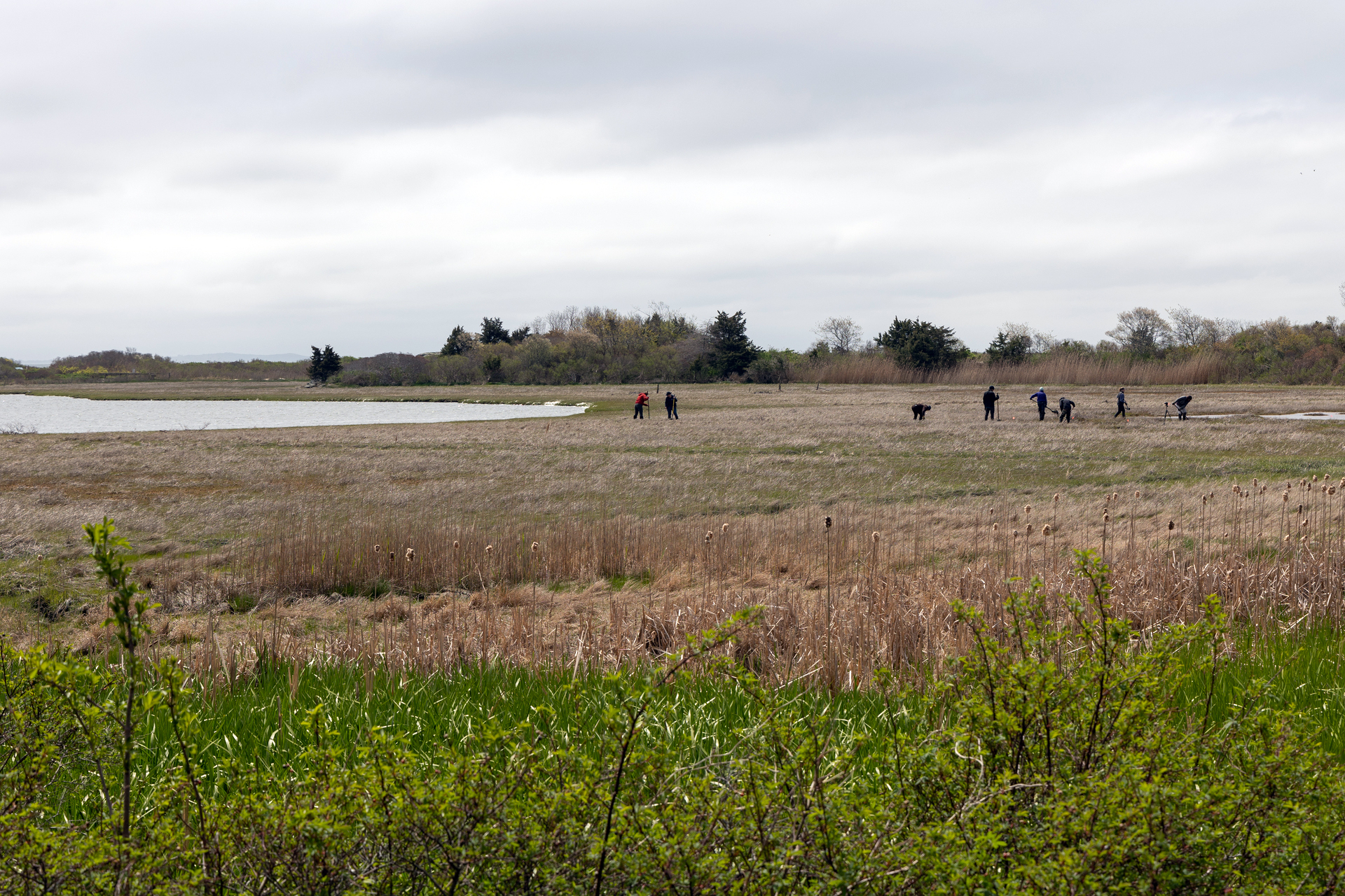
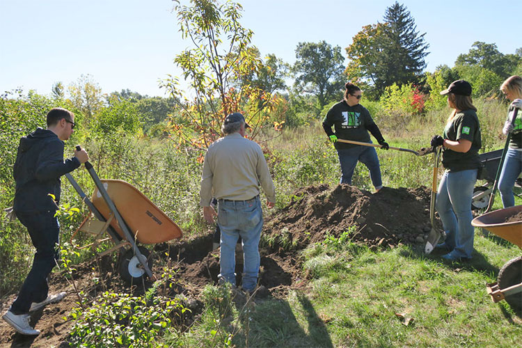
Strategic habitat restoration techniques support biological diversity and healthy wildlife habitats.
Ongoing Stewardship
Through comprehensive ecological management plans, we foster long-term habitat health for future generations.
30x30 Catalyst Fund
Mass Audubon created the 30x30 Catalyst Fund to enable us to move quickly in protecting 30% of Massachusetts' land, in particular the most biodiverse and carbon-rich lands that are also at risk of development.
Priority Habitats
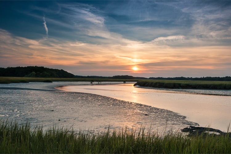
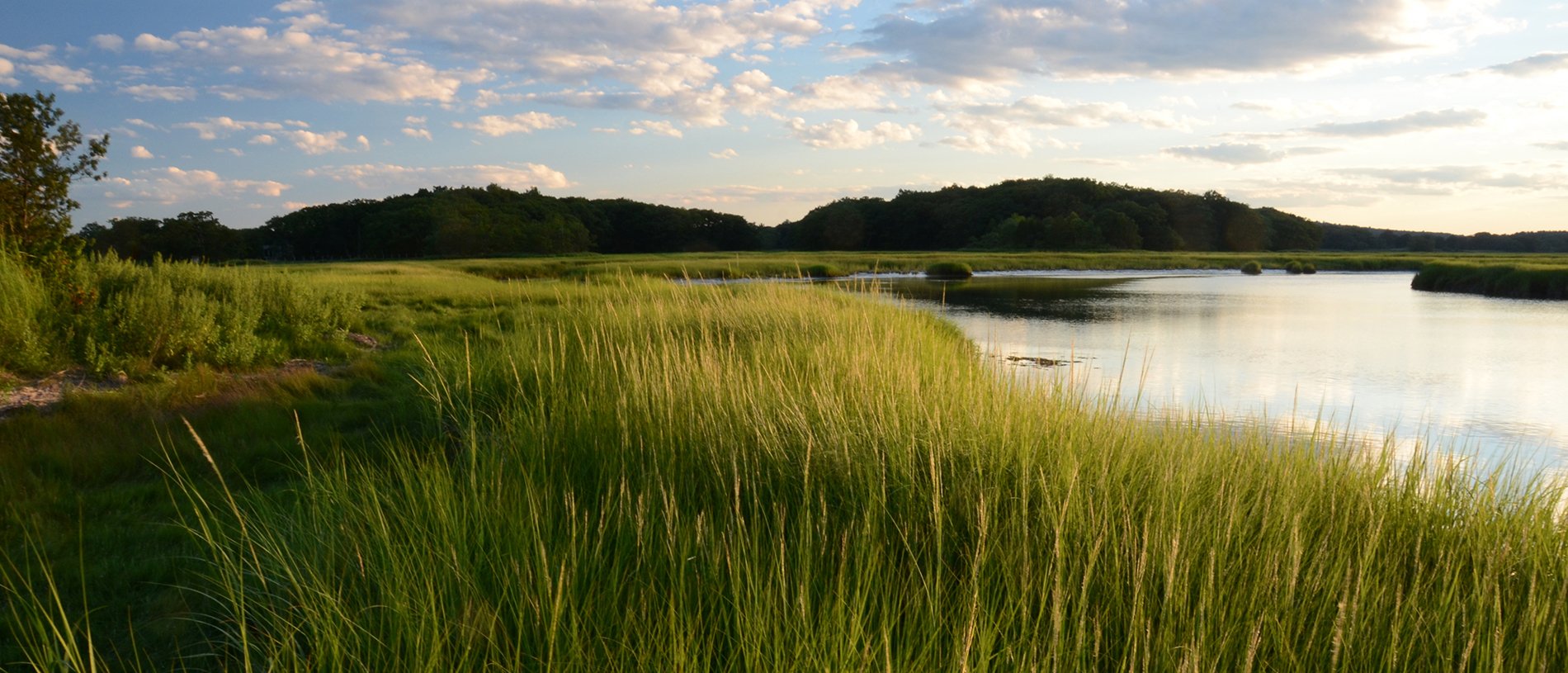
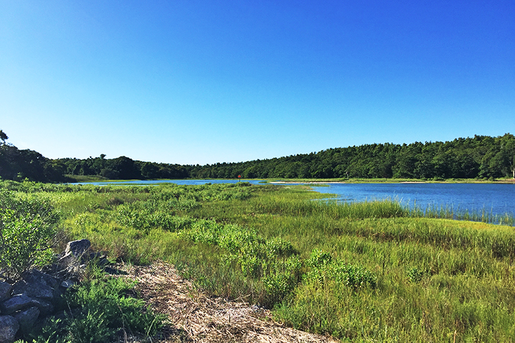
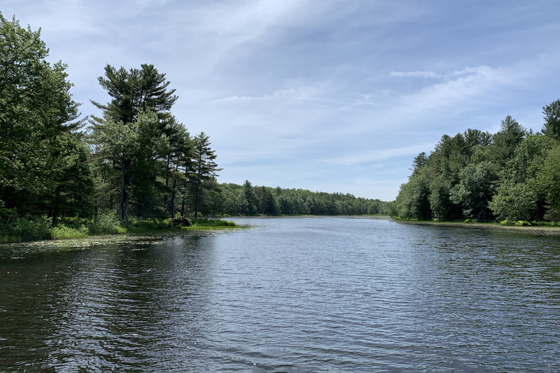
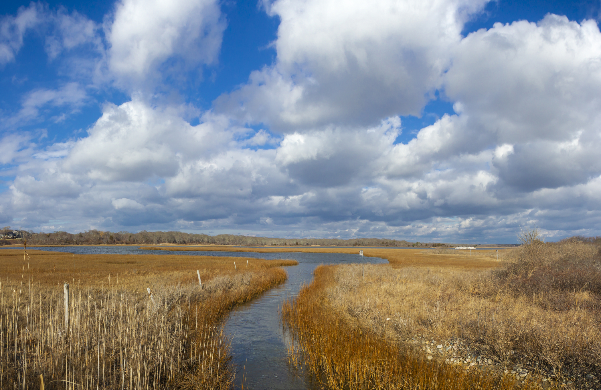
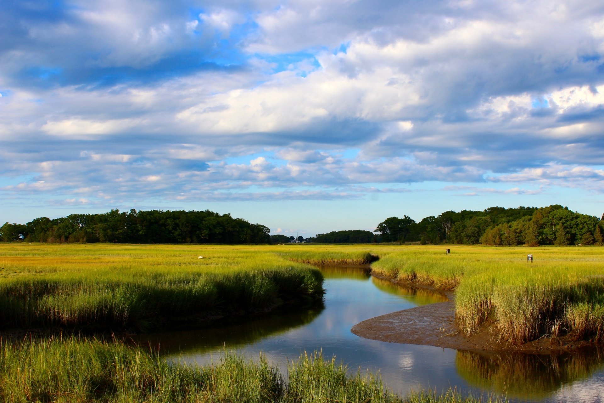
Coastal
We protect, manage, and restore salt marshes, bird breeding islands, beaches, and coastal uplands.
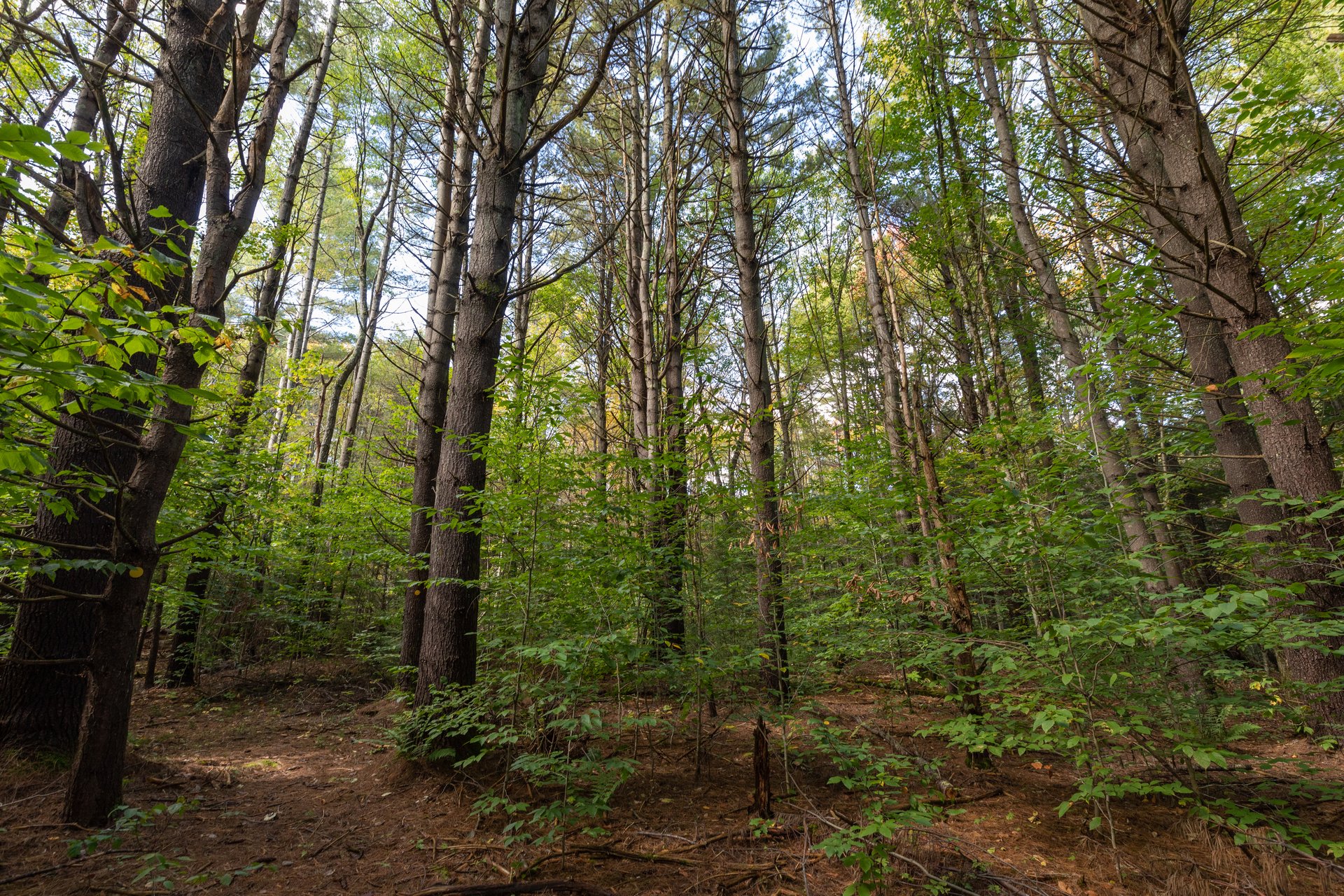
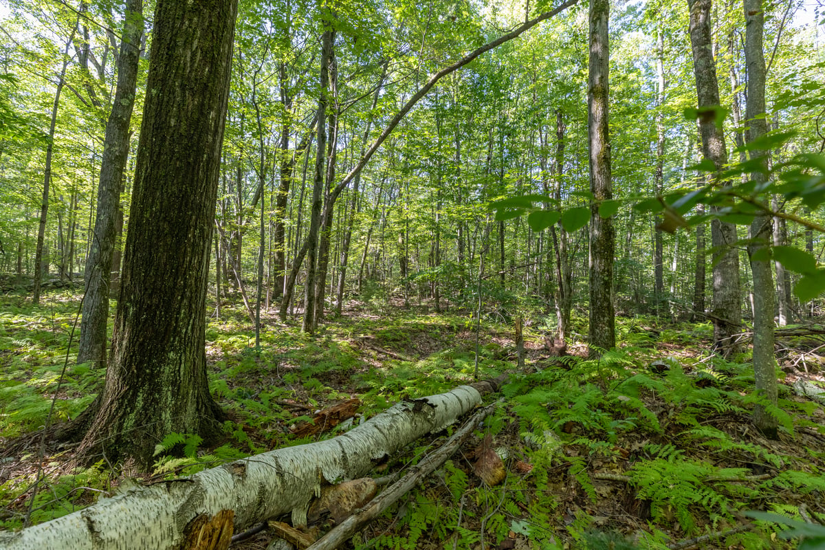
Forests
Forests of various ages provide many ecological services and require different management strategies.
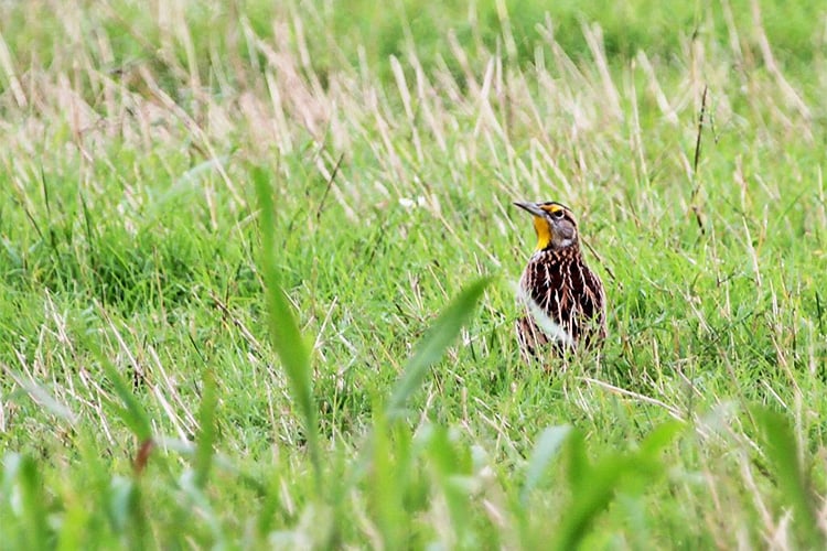
Grasslands
We develop sustainable management practices for grasslands.
Working with Community Partners
Our land protection strategy complements existing plans from federal, state, and partner organizations. We are amplifying the impact of our collective actions by advocating for more funding focused on land conservation and land restoration.
Mass Audubon also helps private landowners incorporate resilient land management strategies that benefit both the economy and the environment.
Our Impact
Working with partners, we've dramatically expanded our efforts to protect, restore, and steward the state’s most important natural lands.
-
41,000
Acres of land Mass Audubon currently protects
-
1,000
Acres of wetland restoration in progress
-
66,888
Acres of land with bird-friendly and climate-smart land management plans
Featured Stories
-
 Hawes Hill
MathWorks Makes a Transformational Gift
MathWorks, the leading developer of mathematical computing software, has given Mass Audubon a $25 million gift to help protect and restore the Commonwealth’s most valuable natural lands.
-
 Flat Rock, Fitchburg
Seeing the Forest Through the Trees
Mass Audubon uses carefully designed, evidence-based management practices to care for 25,000 acres of forests across the state.
-
 © Darya Zelentsova
Coastal Resilience
Mass Audubon’s approach to Coastal Resilience uses climate adaptation and nature-based climate solutions to focus on the protection, management, and restoration of four coastal priority habitats.
-
Road's End Wildlife Sanctuary, Worthington
Forests
Forests are the defining feature of New England’s landscape and their benefits to people and wildlife are unmistakable.
-
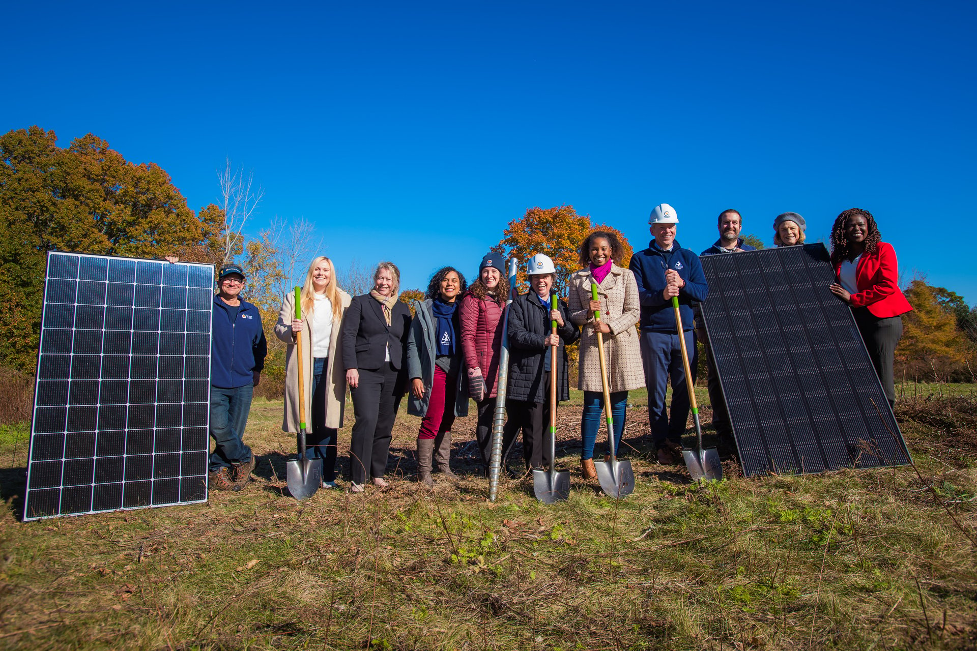 Boston Nature Center Net Zero Groundbreaking
Policy Priorities
Learn about all the bills we're backing this year, then join us in advocating for a transformative policy agenda!
-
 © Julie Archibald
Losing Ground
An extensive analysis of the pace and patterns of land development and land protection in Massachusetts between 2012 and 2017.
-
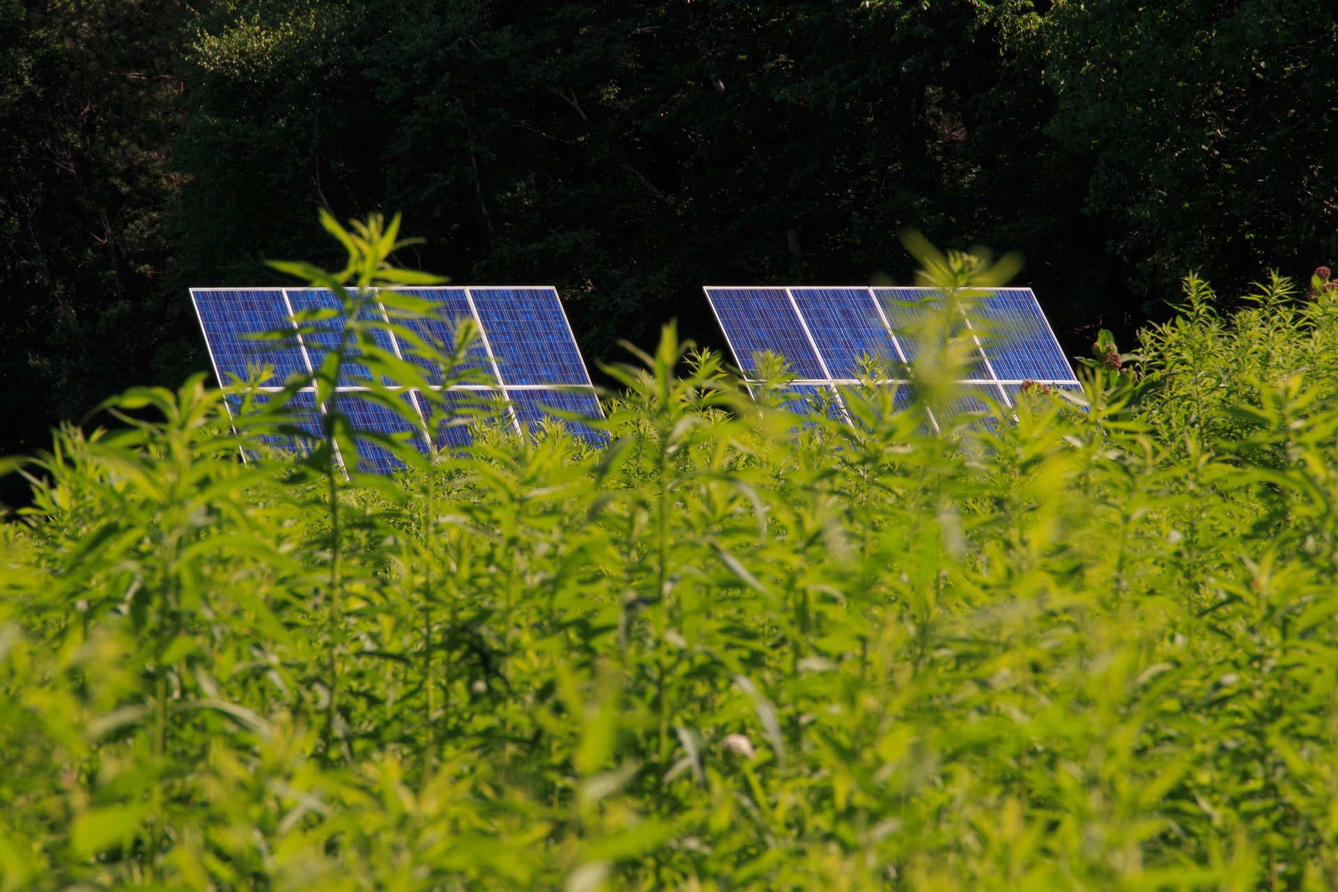 Solar Panels at Pleasant Valley Wildlife Sanctuary, Lenox
New Report Shows We Can Build Solar Energy While Conserving Nature
Researchers found that Massachusetts has enough space to build three to four times as much solar energy as our climate targets project we’ll need by 2050.
Latest News
See all news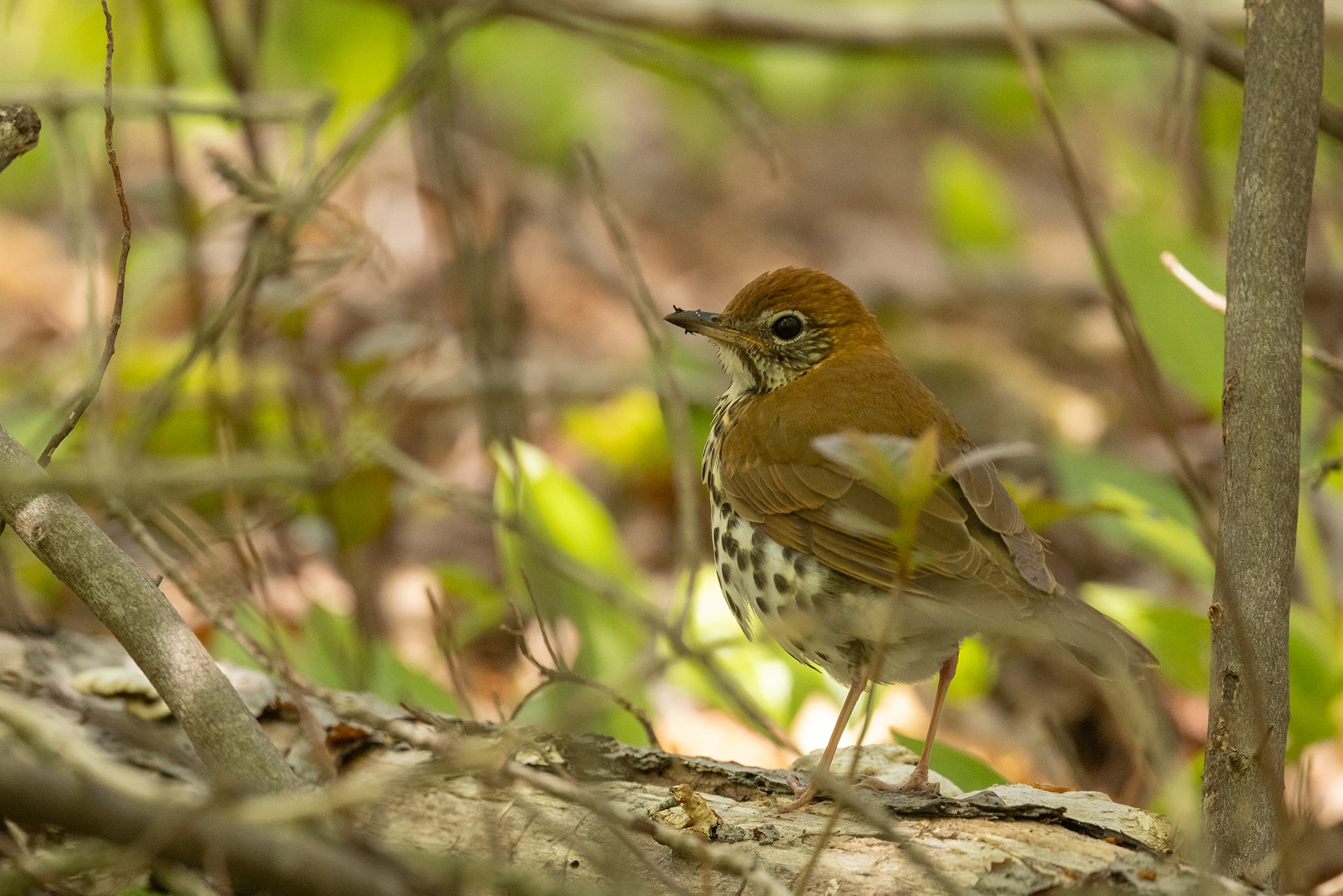
Unlocking the Secrets of Transnational Wood Thrush Migration
Keep Reading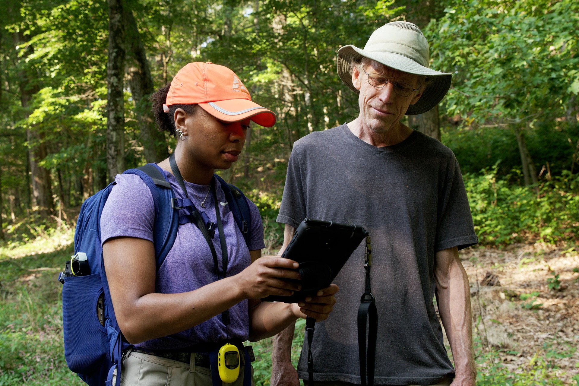
How Technology Helps Shape Conservation Strategy
Keep Reading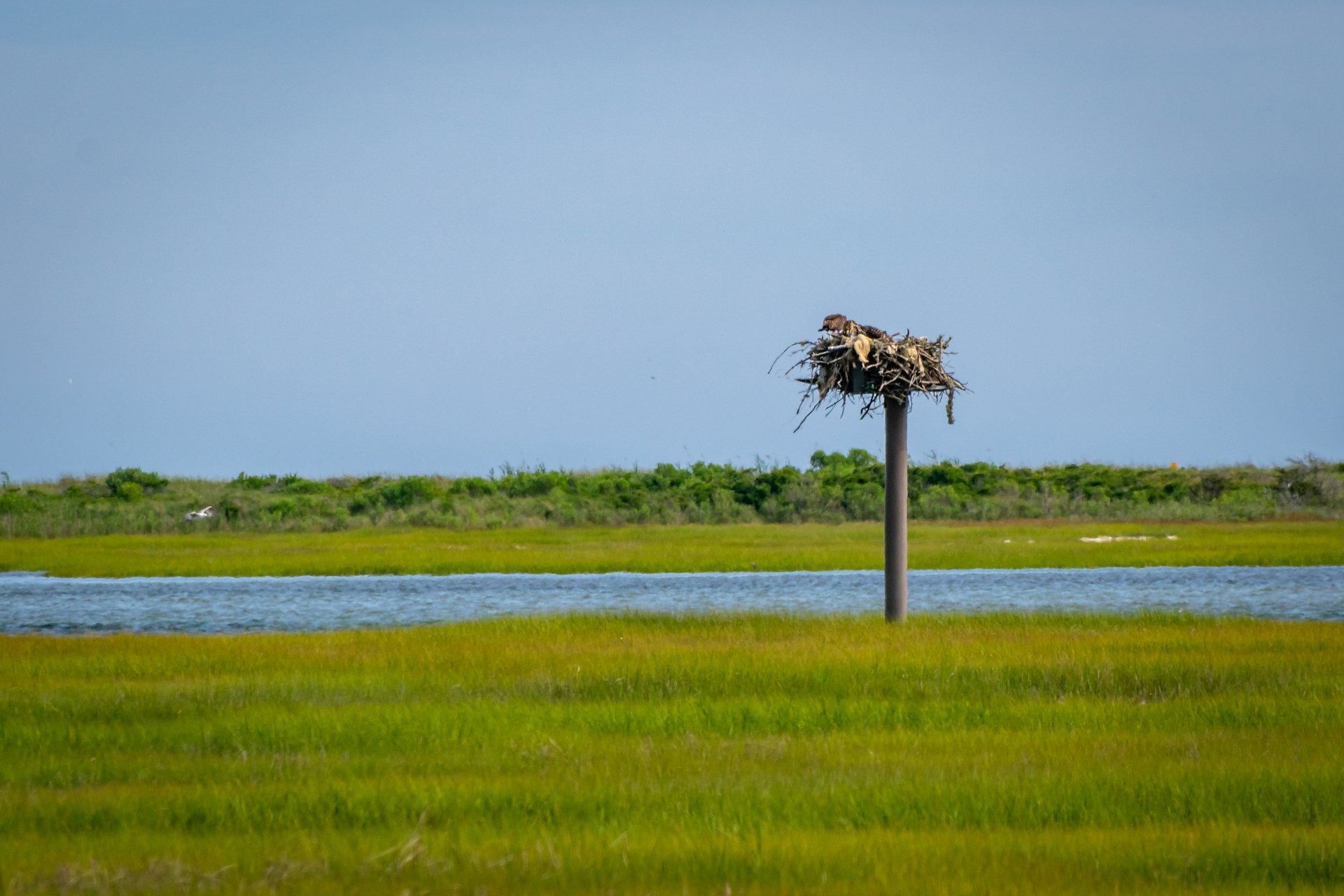
Mass Audubon’s 2024 Conservation and Advocacy Highlights
Keep Reading
Take Action
We need your curiosity, commitment, and passion to ensure that our lands become more resilient, that more people than ever experience the magic of nature, and that we fight climate change—now and in the future.
Stay Connected
Don't miss a beat on all the ways you can get outdoors, celebrate nature, and get involved.